Elincourt
2 km square of farm fields and dense forest with small farm clusters and one main road running north to southeast. Plan operations on this 2.1 km Arma Reforger map in TacOps.
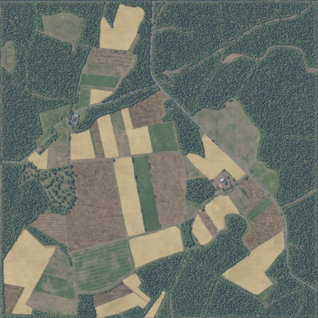
Crop fields fill the centre, southwest and southeast; dense forest covers the northeast, west edge and parts of the south. Elevation ranges from 140 to 190 m. Its 29 buildings sit in small farm clusters west and east of centre. A paved road runs from the north edge to the southeast, with dirt tracks between fields. There is one water body and no missing imagery. It suits small infantry patrols across open fields and woodland edges. The author presents it as Elincourt-Sainte-Marguerite, a French town in the 1980s.
