Elundu
Flat 10 km bush savanna with pale open clearings, small settlements and a long northwest–southeast main road. Plan operations on this 10 km Arma Reforger map in TacOps.
Map tiles updated
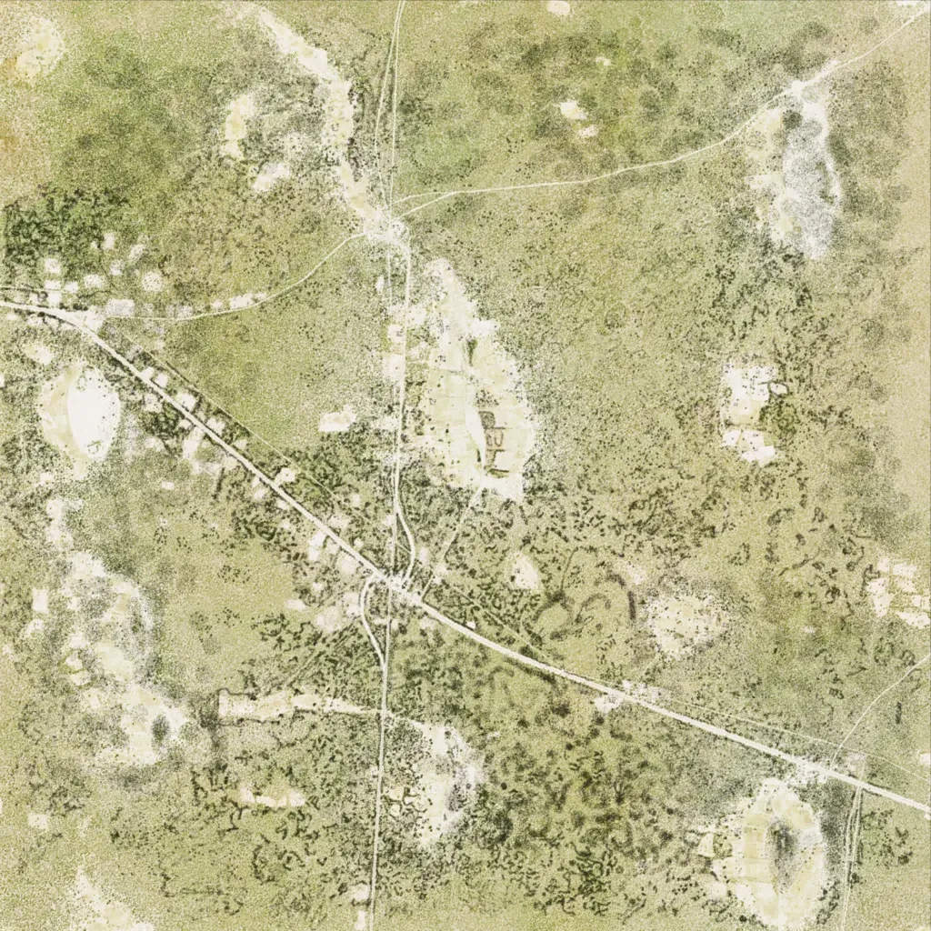
The author sets this map in Northern Namibia. The roughly 10 km square is almost flat, between 120 and 140 m elevation, with grass, scrub and patchy bush around pale open clearings. A main road crosses diagonally from northwest to southeast, meeting a north–south road just south of the center; 35 roads total about 85 km. The map has 98 buildings, three named localities (Elundu, Oininive and Onamundidi), 8 military points of interest and 15 water bodies. Bush cover and long open stretches suit motorized patrols and infantry operations.
Map facts
- Game: Arma Reforger
- Size: 10 km, 10 by 10 grid squares of 1 km
- Made by L4V4, cabbsza (Workshop page)
Layers and modes
- Satellite imagery
- In-game map
- Topographic map details
- Roads
- Contour lines every 10 m
- Named places
- Hillshade
- Slope analysis
- Tree canopy
- Line-of-sight checks
- Water levels
- 3D terrain view (TacOps Pro)