Estes Park Colorado
10 km mountain valley map with a lakeside town in the southeast, dense forest in the north, and ranch roads. Plan operations on this 10 km Arma Reforger map in TacOps.
Map tiles updated
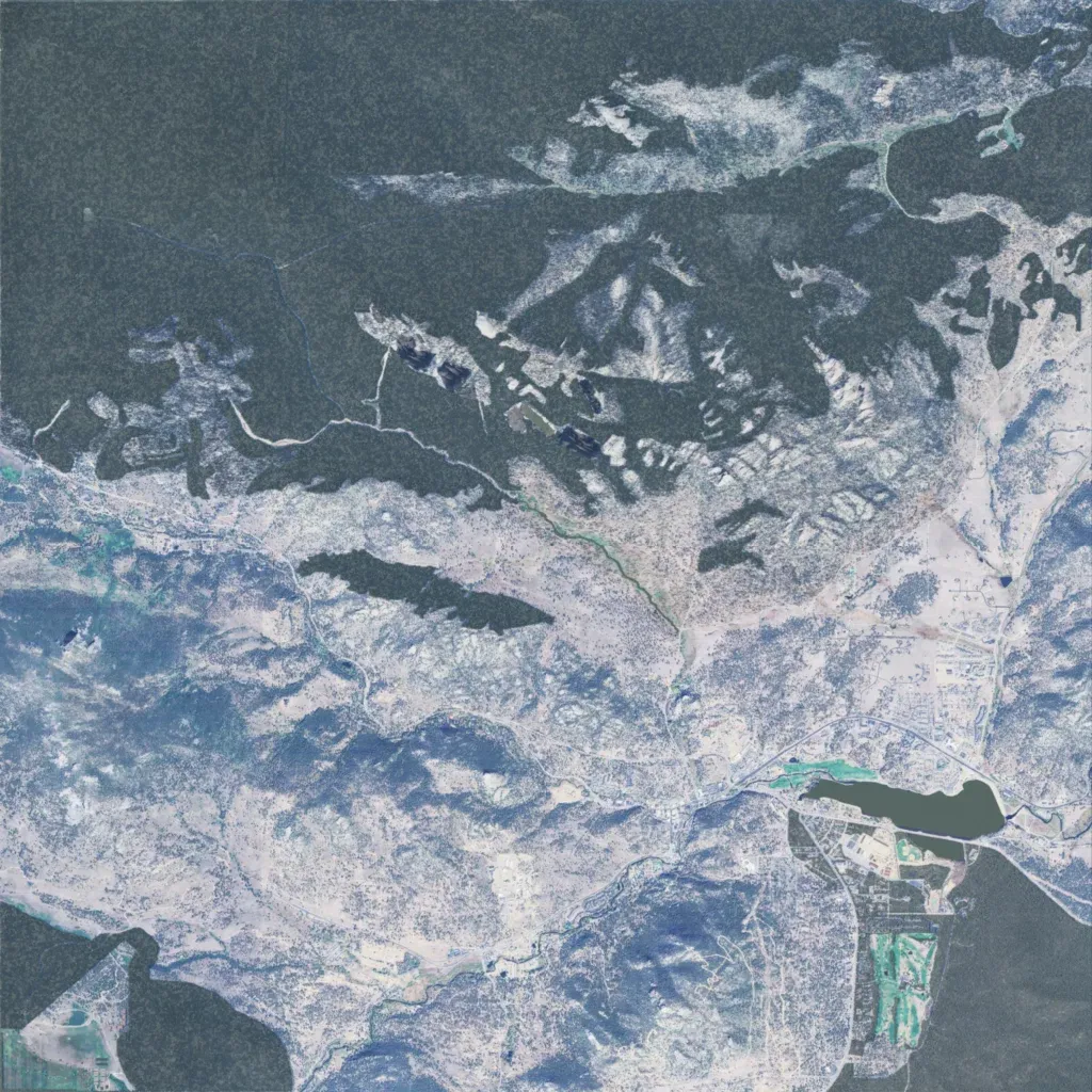
The author bases this work-in-progress terrain on Estes Park, Colorado, and says it is about 40 percent complete. Dense dark forest covers most of the north and rises to rocky ridges, while the valleys to the south are open and sparsely treed. The town sits in the southeast beside a lake and golf course, with ranches and scattered houses across the valleys. The road network totals about 166 km, and the map marks FOB Shaner and three COPs. It suits patrols, convoys, and outpost defense.
Map facts
- Game: Arma Reforger
- Size: 10 km, 11 by 11 grid squares of 1 km
- Made by TheFireProofPig (Workshop page)
Layers and modes
- Satellite imagery
- In-game map
- Topographic map details
- Roads
- Contour lines every 10 m
- Named places
- Hillshade
- Slope analysis
- Tree canopy
- Line-of-sight checks
- Water levels
- 3D terrain view (TacOps Pro)