Everon Xtra
12.8 km island of farmland, woods and forested hills, with a northern airstrip and small offshore islets. Plan operations on this 12.8 km Arma Reforger map in TacOps.
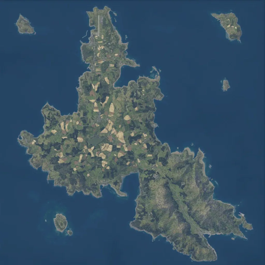
A main island sits in open sea on the 12.8 km map, with several small islets offshore. Farmland and woods cover the north and centre, an airstrip sits at the northern tip, and the southeast is a forested upland. Elevation runs from 10 to 370 m. Data lists 8,334 buildings and 222 military points, with roads linking towns and a lake west of centre. Imagery covers all land with no placeholder ground; it suits combined-arms and air operations. The author advises playing indoor or underground locations at night.
