Eyl Somalia
6 km hill country cut by gullies and a shallow river, with a dense village in the northwest and a southeast coast. Plan operations on this 6.1 km Arma Reforger map in TacOps.
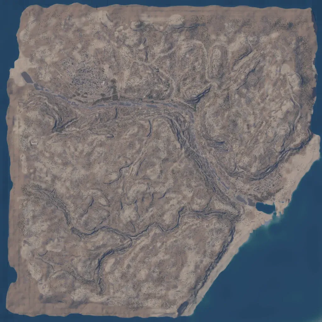
Sandy hills cover this 6 km map, cut by gullies and a shallow river running from the west to the southeast coast. A dense village sits north of the river in the northwest, one of two named localities. About 80 km of roads and tracks cross the hills, and a small lake lies near the river mouth. Vegetation is sparse scrub, and the outer edges are bare sand. The author says it is an abandoned, pirate-held Eyl and still a work in progress. It suits small infantry raids and patrols.
