Faircroft Islands
Rural archipelago of farmland, moorland, forest and lakes, with an airfield near the main island's south coast. Plan operations on this 12.8 km Arma Reforger map in TacOps.
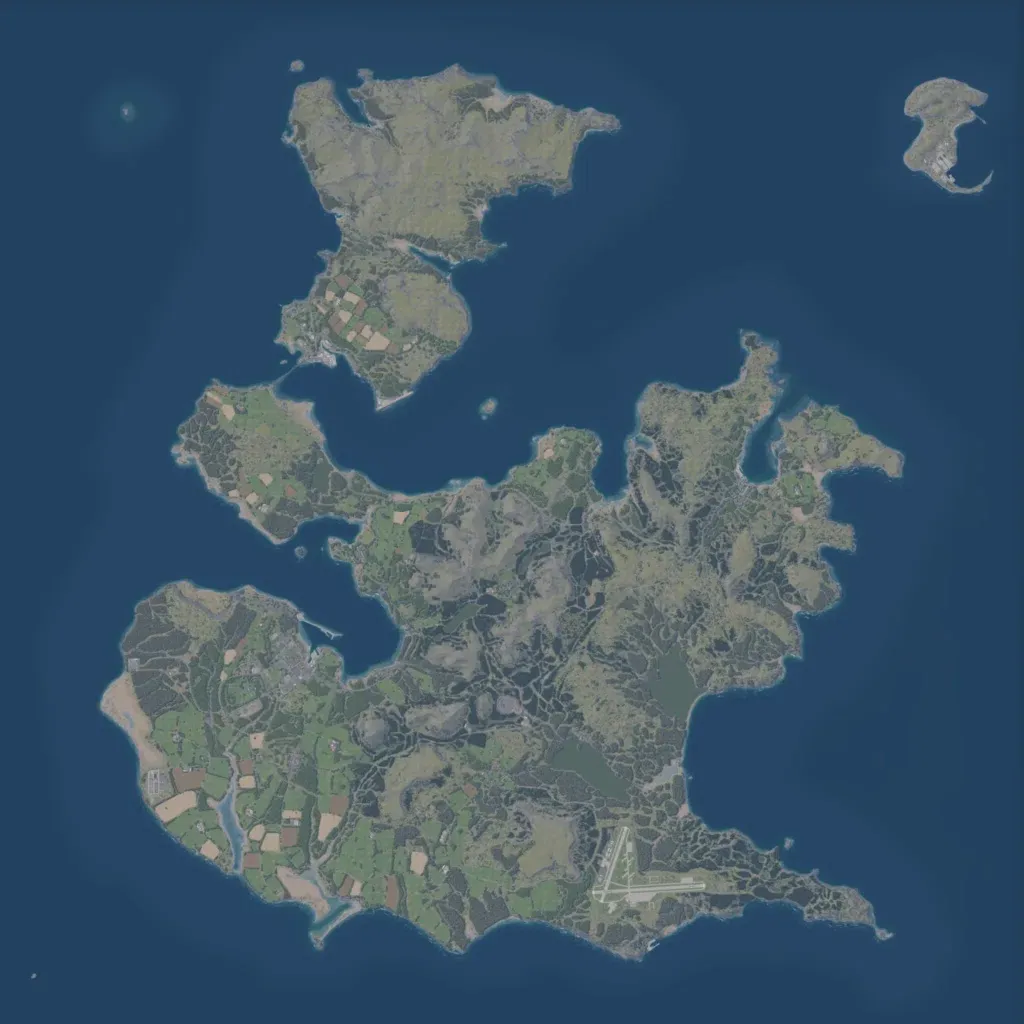
The author presents it as a fictional 1980s British Overseas Territory. Open sea surrounds several islands in a 12.8 km world, the largest in the south and a small islet in the northeast. Farm fields fill the southwest, while moorland and forest cover the hilly centre, east and north. Named places include Calverston, Mertun, Fenby and Broughton, among 4,142 buildings, with an airfield near the south coast and 133 lakes. About 276 km of roads link farms and villages. Suits infantry, combined-arms and amphibious operations.
