Fireweed Island
Small forested island with a rocky central hill, harbor, airport, military base and scattered villages. Plan operations on this 3.1 km Arma Reforger map in TacOps.
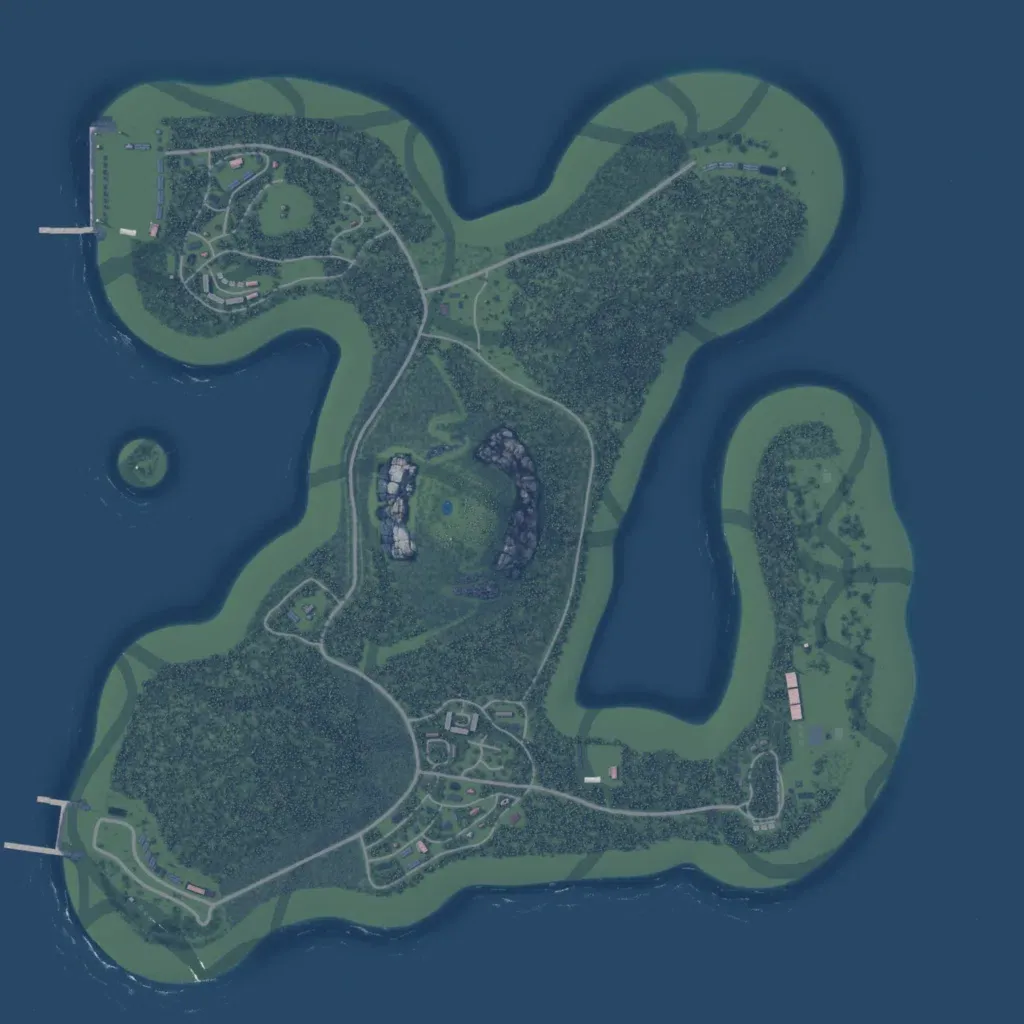
The island is about 3 km across, mostly dense forest inside a ring of open coastal grass. Two rocky outcrops and a small pond sit at the centre. Named places include a harbor, airport, military base, castle, lighthouse, power plant and sawmill. About 20 km of roads link settlements in the northwest, south and east; piers line the west coast. The wide coastal grass strips hold few buildings or trees. It suits small infantry operations. The author says it was made for combat with many flanking routes.
