Fort Benning
Forested army training ground with barracks, firing ranges, and road links over low, rolling terrain. Plan operations on this 9.2 km Arma Reforger map in TacOps.
Map tiles updated
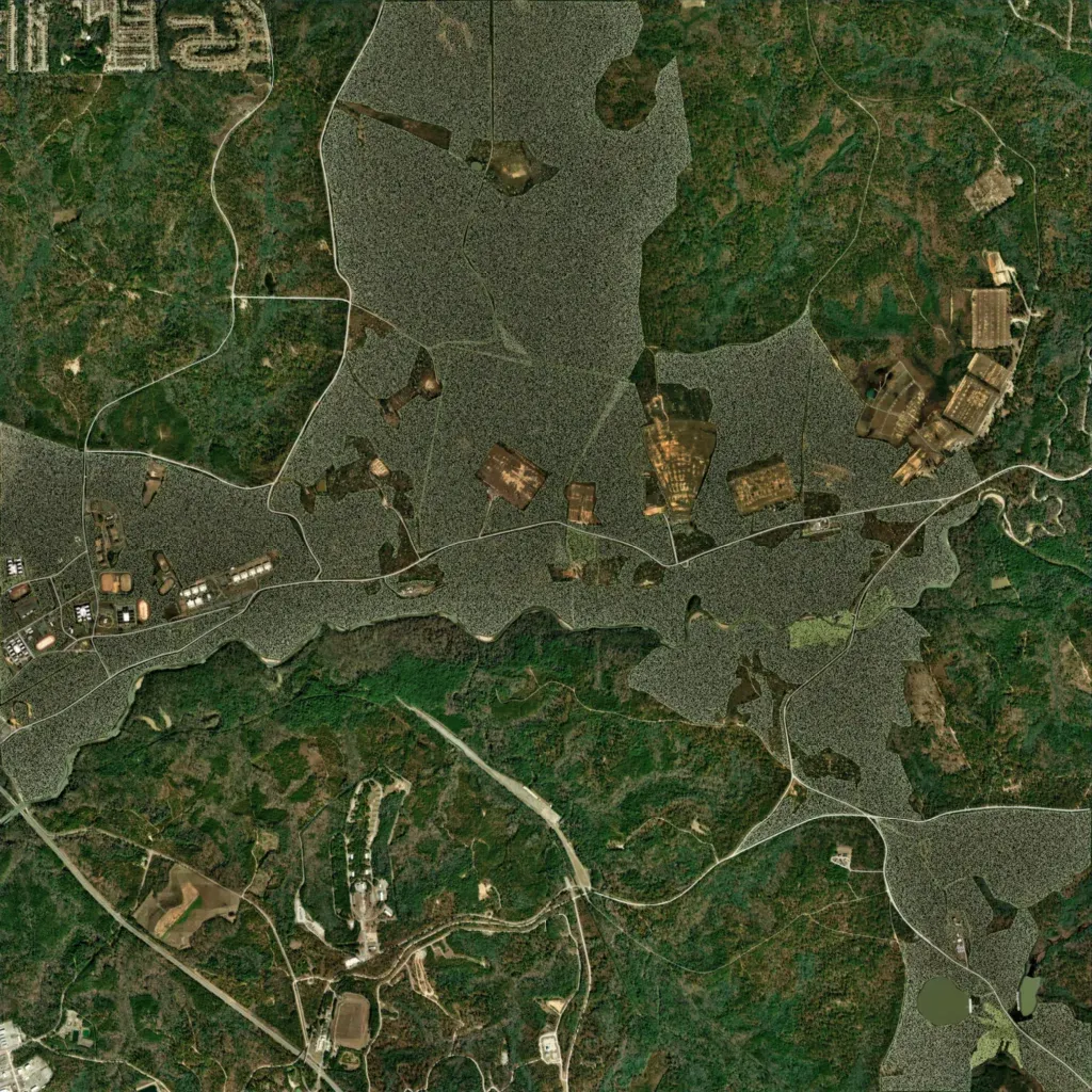
The author calls it the Sand Hill training area of Fort Benning, Georgia, and a heavy work in progress. Low forested ground, 10 to 100 m high, covers the 9.2 km map. Buildings cluster in the west and northeast, with cleared range areas across the centre. Named sites include rifle ranges, a MOUT site, Land Nav, a Night Infiltration Course, and Victory Pond. About 74 km of roads link them; the topo layer marks 55 water bodies. It suits infantry training, range drills, and patrol or navigation exercises.
Map facts
- Game: Arma Reforger
- Size: 9.2 km, 10 by 10 grid squares of 1 km
- Made by The_Doorman (Workshop page)
Layers and modes
- Satellite imagery
- In-game map
- Topographic map details
- Roads
- Contour lines every 10 m
- Named places
- Hillshade
- Slope analysis
- Tree canopy
- Line-of-sight checks
- Water levels
- 3D terrain view (TacOps Pro)