Gogland
Narrow forested island running north to south, with small outlying islets and about 100 km of roads. Plan operations on this 12.3 km Arma Reforger map in TacOps.
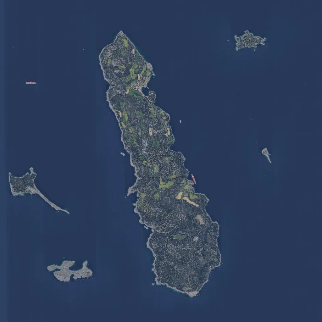
Mostly open sea surrounds one long, narrow island running north to south, plus several small islets. The island is dense forest broken by small fields, with hills from 10 to 140 m. A village sits by a bay on the northeast coast; a small lake lies in the south. Named places include Kiiskinkyla, Suurkyla and Mattila. About 100 km of roads wind through the woods. No imagery gaps show on land. It suits infantry operations in close forest. The author calls it a real island with a fictional layout.
