Hafren MWMTA
10 km upland training area with conifer plantations, a long lake, firing ranges and 175 km of tracks. Plan operations on this 10.2 km Arma Reforger map in TacOps.
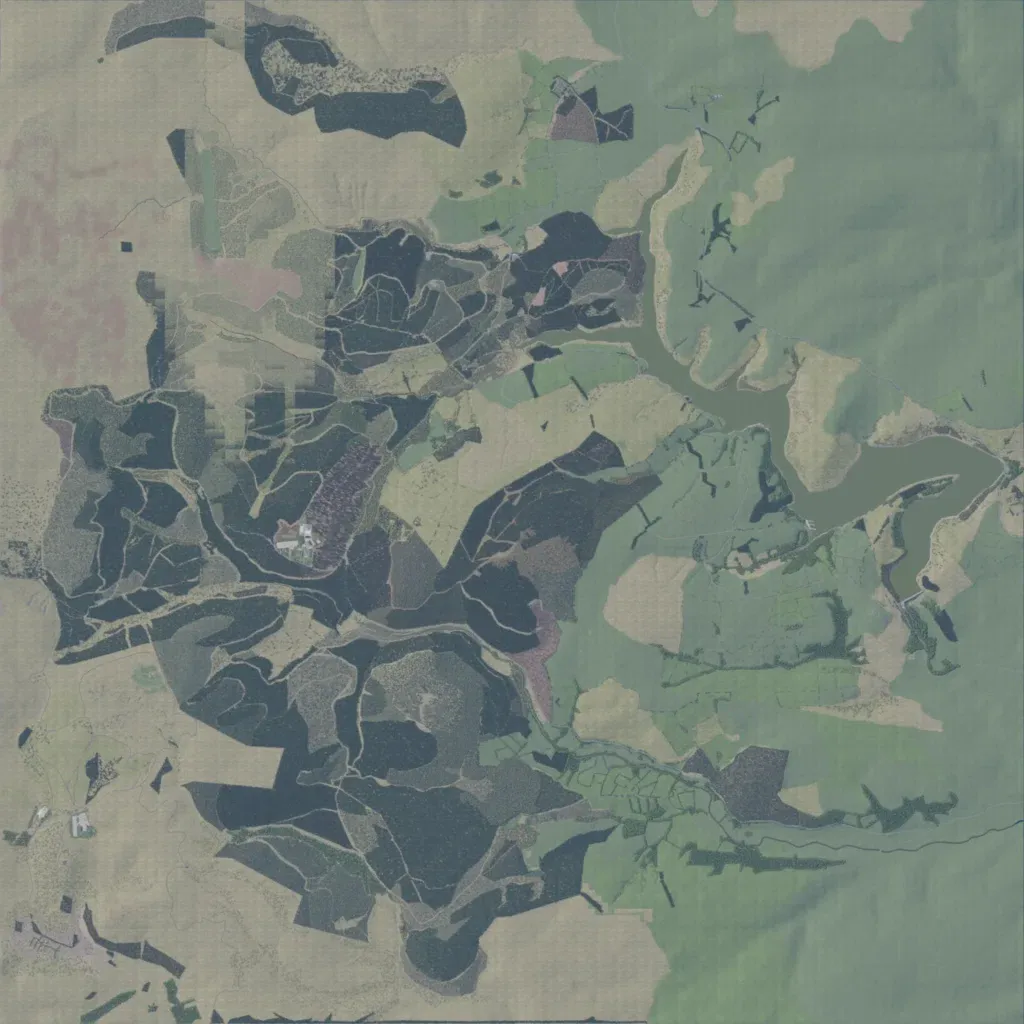
The author presents it as a real location with a fictional, unfinished military training area. Conifer plantations cut by forestry tracks fill the centre and west, with open moorland beyond; elevation spans 10 to 440 m. A long lake winds from the north-centre to the east. Its 340 buildings sit in small compounds; named sites include ranges, quarries, a FIBUA village and a mock airfield. The east and southeast are bare slopes with little placed, and the northwest shows blocky ground texture. Suits small-unit forest patrols and range training.
