Hari Katan Isles
Five forested tropical islands on a 4.4 km sea map, with small compounds and roads on the largest island. Plan operations on this 4.4 km Arma Reforger map in TacOps.
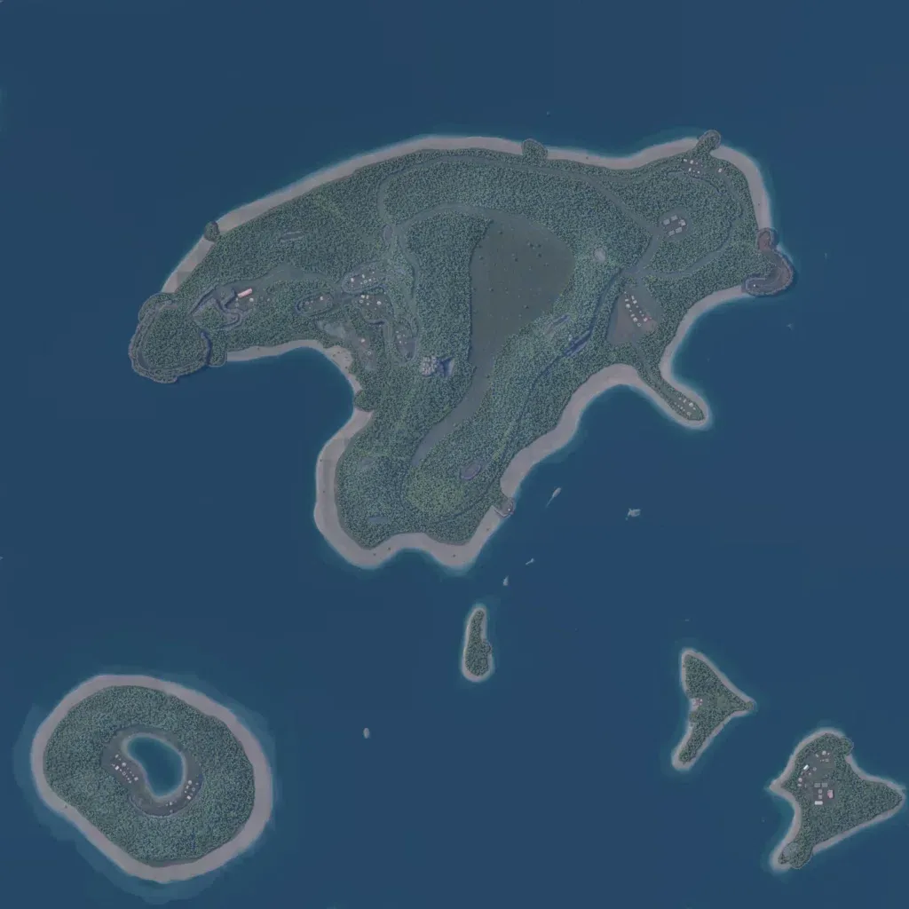
Most of the 4.4 km world is open sea, with one large jungle island in the north and four small islands to the south. The main island has sandy beaches, a wide central clearing, and hills up to 110 m. There are no named towns; roughly 160 buildings and 10 military sites form small compounds. About 14 km of minor roads cross the main island. The emptiest sampled areas are featureless open sea, and ground imagery has low texture detail. It suits small amphibious raids, boat insertions, and jungle patrols.
