Haute Roche
Forested island with a bare rocky central ridge, an airstrip, military sites and scattered villages. Plan operations on this 6.7 by 4.9 km Arma Reforger map in TacOps.
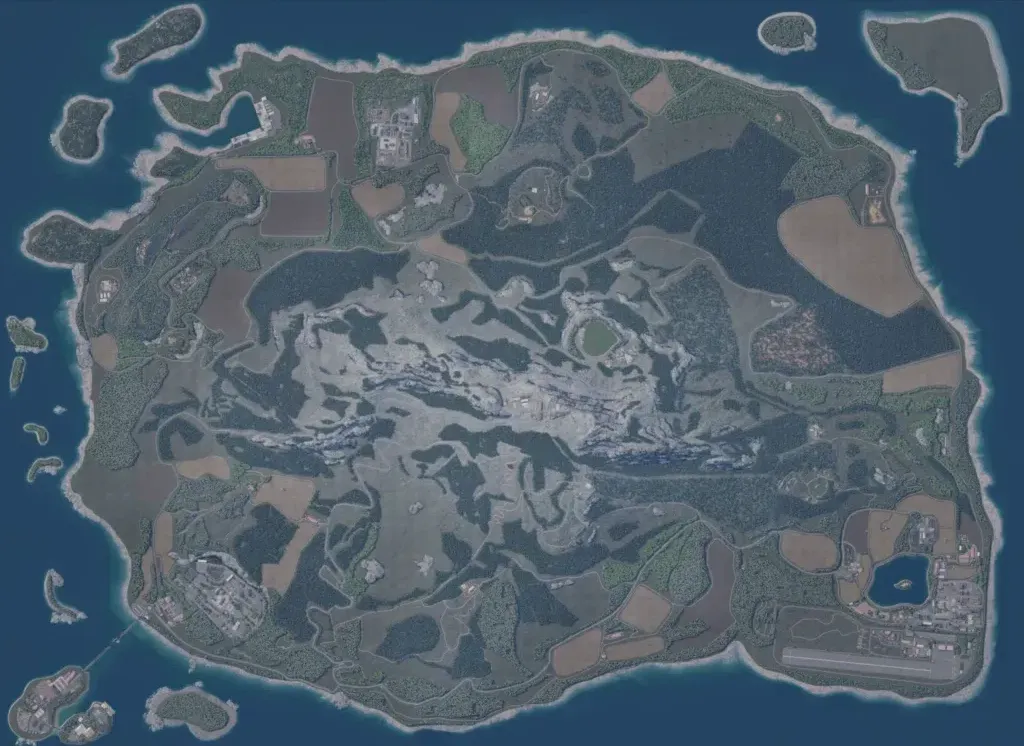
The map is a 6.7 km island with offshore islets, its centre a bare grey rocky ridge rising to about 590 m. Dense forest and open farm fields surround the ridge, ringed by a coastal road. Points of interest include 21 military sites and localities such as Dieuze, Ronchamps, Louvemont and Rupt. An airstrip and lake lie in the southeast; a southwest compound links by bridge to small islands. The author presents it as a military training island for organised groups. It suits infantry and motorised operations.
