Hostomel
Central airfield and runway with farmland to the east; most of the map is still flat placeholder ground. Plan operations on this 4.4 km Arma Reforger map in TacOps.
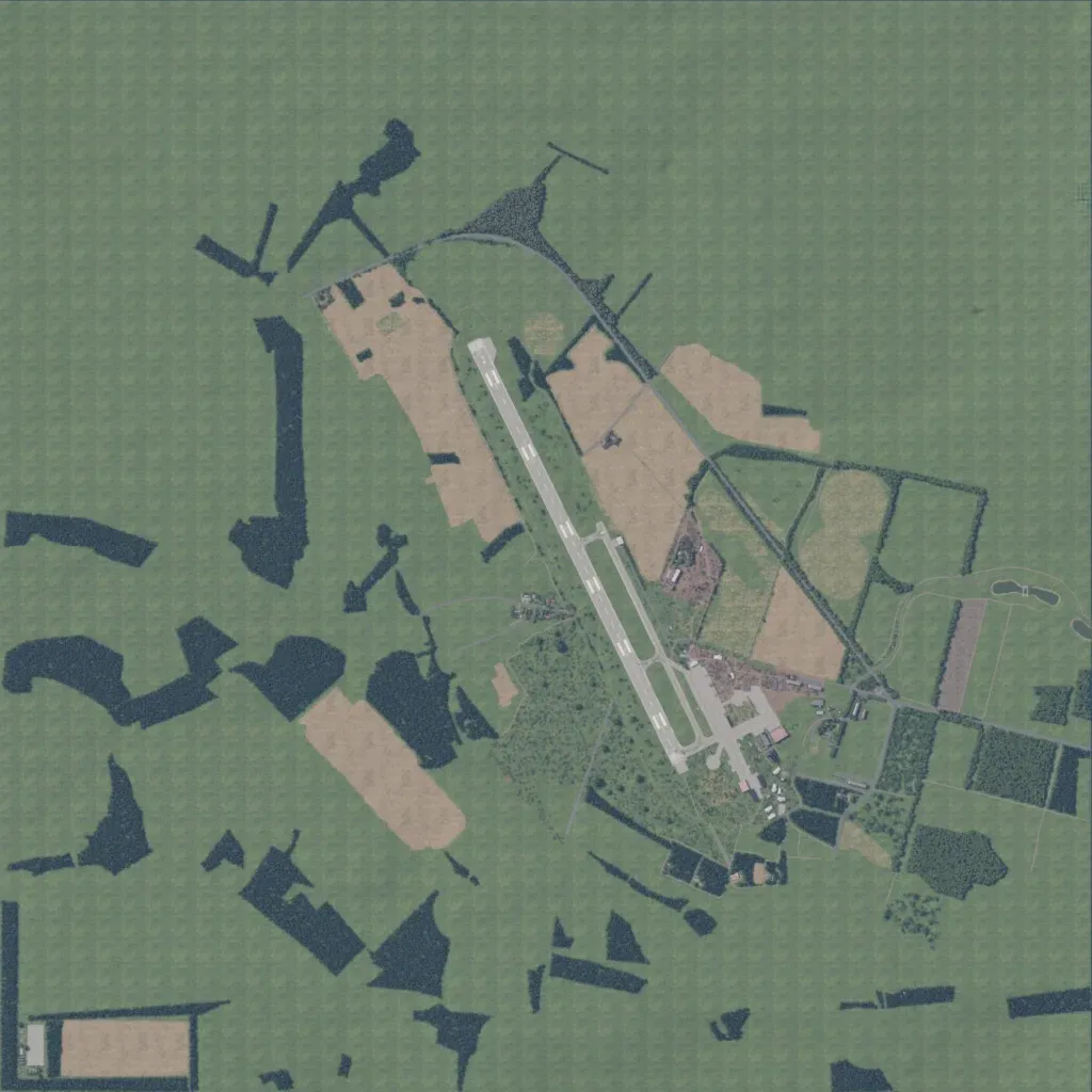
A 4.4 km map centred on an airfield whose runway runs north-northwest to south-southeast. Hangars and aprons sit southeast of the runway, with fields, tree lines and small ponds further east. Most of the rest is flat, repeating green placeholder ground with dark forest blocks and no visible villages. The author calls it a work-in-progress recreation of Hostomel airport and nearby villages near Kyiv. Elevation stays between 120 and 160 m, with about 40 km of roads. It suits a contained airfield assault or defence.
