Ia Drang
Unfinished 10 km map: dense jungle covers under half the area; tracks lead to a small hut cluster in the west. Plan operations on this 10.2 km Arma Reforger map in TacOps.
Map tiles updated
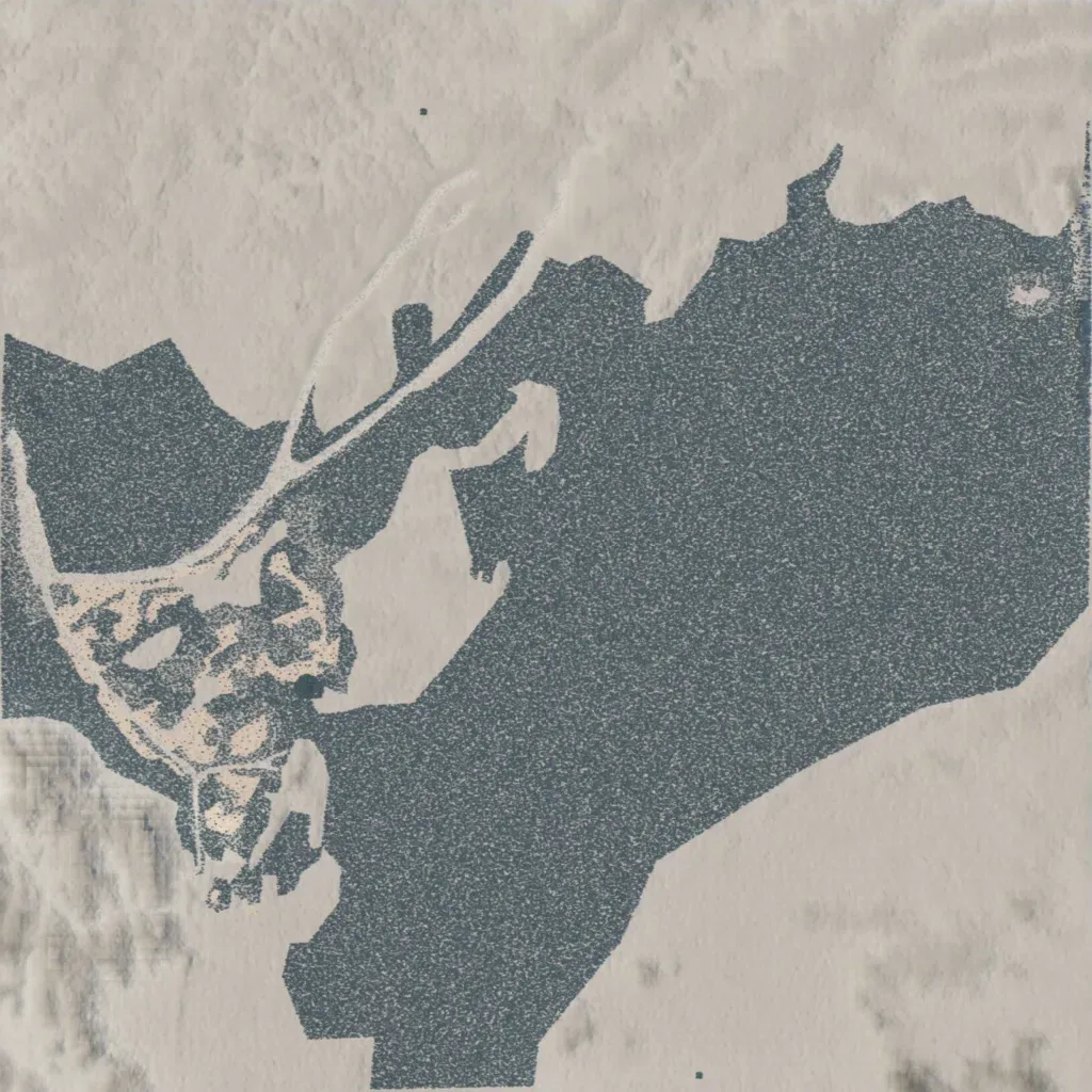
The 10 km map ranges from 120 to 410 metres in elevation and has no water. Dense jungle covers just under half the map, from the west through the centre to the east. The author describes it only as very WIP. The southeast and the far southwest corner are bare ground; the north is bare apart from a track. A small cluster of huts and clearings sits in the western jungle, linked by converging tracks. The mix of jungle, open ground and 290 metres of relief suits infantry or combined-arms training.
Map facts
- Game: Arma Reforger
- Size: 10.2 km, 11 by 11 grid squares of 1 km
- Made by 7Cav (Workshop page)
Layers and modes
- Satellite imagery
- In-game map
- Contour lines every 10 m
- Named places
- Hillshade
- Slope analysis
- Tree canopy
- Line-of-sight checks
- Water levels
- 3D terrain view (TacOps Pro)