Île de Fay
Small rocky, grassy island on a 4 km map, ringed by sea, with scattered buildings, stone walls and small lakes. Plan operations on this 4.1 km Arma Reforger map in TacOps.
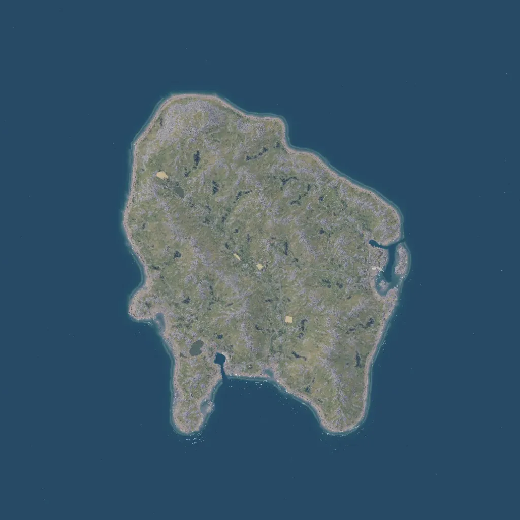
The island is rolling grassland streaked with grey rock and low scrub, rising to about 120 m above the sea. Map labels name Port Fay, Loix, Saran, Herring Cape and Government House, but only about 108 buildings are spread thinly across the island. Roads total about 12 km, mostly minor tracks, and some 1,379 wall segments divide the fields. Inlets cut into the east and south coasts, and dozens of small lakes dot the interior. Ground imagery shows no blank areas. It suits small infantry and amphibious operations.
