Inyanga
Hilly 5 km bush and grassland with pine plantations, scattered farms and an airstrip in the southwest. Plan operations on this 5.1 km Arma Reforger map in TacOps.
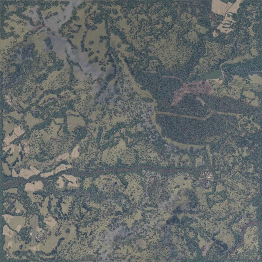
Hilly 5.1 km terrain, 10 to 790 m elevation, mostly grassland broken by bush and tree lines. Dense pine plantations with tracks fill the centre-east, beside a small lake to the northeast. The 651 buildings sit in scattered farms with fields in the west and southwest, a compound east of centre and a southwest airstrip. About 90 km of roads link them. Grey patches in the northwest and south show little detail. Suits patrols, ambushes and light air-mobile work. The author built it for BUSHWAR.
