Iron Island
Forested 3.3 km island with small hamlets, a deep western inlet and several bare placeholder islets offshore. Plan operations on this 3.3 km Arma Reforger map in TacOps.
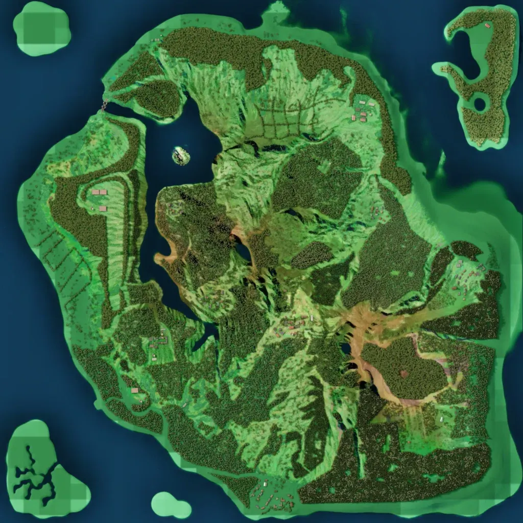
One main island, mostly dense forest with grassy clearings, rises from 10 to 190 m. A deep inlet with a small islet cuts into the west coast. The 250 buildings form small scattered hamlets, with named places including Bled, Dolz, Rosalnice and Vinomer. Roads total about 18 km. Islets in the northwest, southwest and south are flat untextured green with nothing placed. The author lists four villages, an industrial zone, an airfield, a CQB facility, a shooting range and a castle. Dense cover suits infantry patrols and close-quarters training.
