IronHorse La Fière
Flooded river valley with a central causeway and hedgerow farmland; most of the land is still empty. Plan operations on this 6.1 km Arma Reforger map in TacOps.
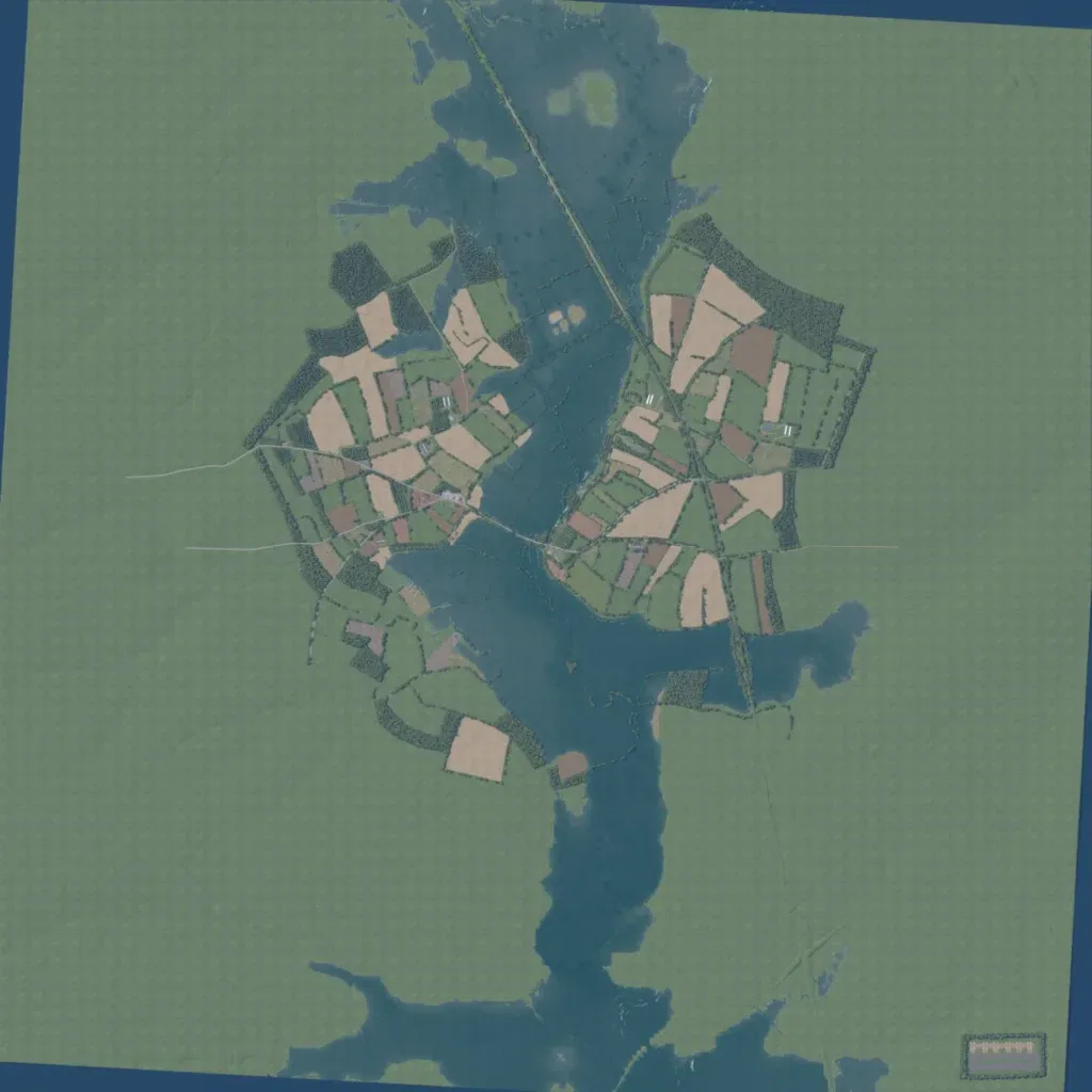
This flat 6 km map, about 10 to 20 m in elevation, is split north to south by a wide flooded river valley. A causeway road crosses the water near the centre, joining hedgerow fields, woods and about 200 buildings on both banks. Roads total about 22 km. Roughly two thirds of the land, the whole outer area, is bare green ground with nothing placed. The author calls it a work in progress covering La Fière, Cauquigny and part of Drop Zone O. It suits small infantry fights over the crossing and the hedgerow fields.
