Kadykchan
Densely forested 8 km map of patchy clearings, small scattered towns, an eastern airstrip and a river on the west edge. Plan operations on this 8.2 km Arma Reforger map in TacOps.
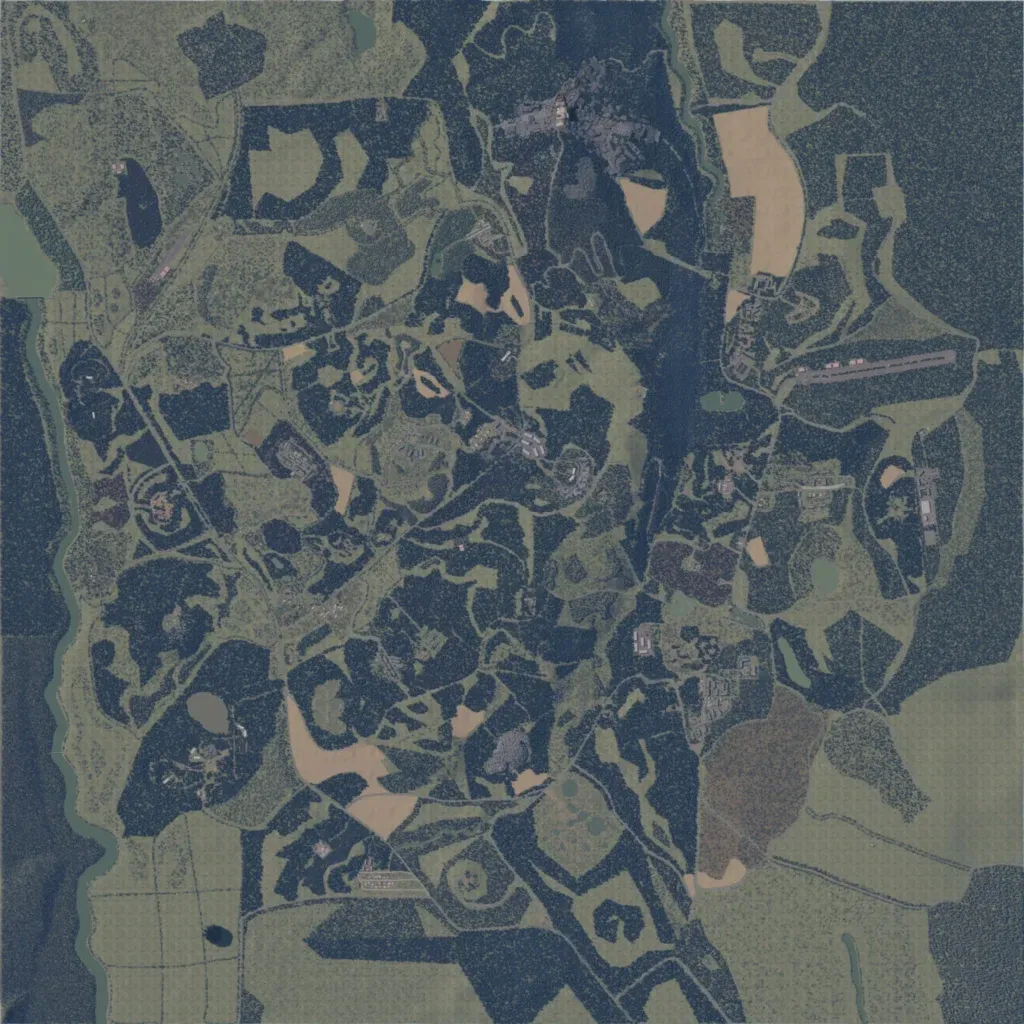
The map is mostly dark conifer forest cut by irregular clearings and fields, with elevation from 220 to 720 m. Small settlements are scattered across it, the largest in the north centre, and an airstrip lies in the east. About 201 km of roads link them; a river runs down the western edge, with ponds and small lakes inland. The southwest corner is open fields divided by straight tracks, with a small dark pond. It suits infantry fights in close woodland. The author describes it as a work in progress.
