Karlslo Island
Low 17 km island map of forest and fields, with small villages, military sites and outlying islets. Plan operations on this 17.2 km Arma Reforger map in TacOps.
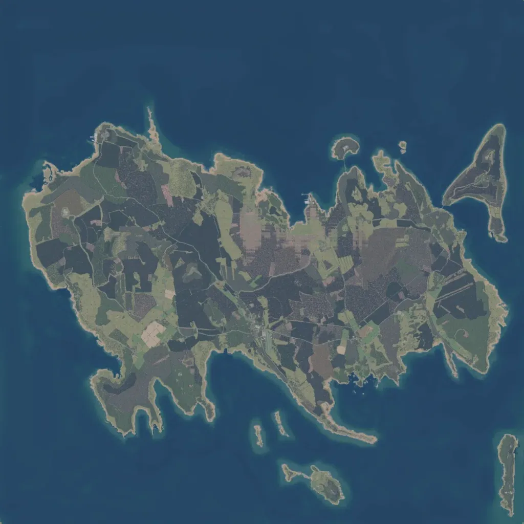
The author calls it a fictional island loosely based on a Baltic island. One large, low island of forest and fields, 10 to 210 m high, is ringed by smaller islets. Villages including Borrby, Diby, Hullo, Norrby and Sviby hold about 1,600 buildings, linked by 213 km of roads. There are 40 military sites, including a radar base, plus 18 lakes. Some fields show blocky, grid-like texture patches. Suits infantry and mechanized operations with coastal landings.
