Kautenbach
Steep wooded valleys with a winding river, one central village and open farm fields toward the map edges. Plan operations on this 4.1 km Arma Reforger map in TacOps.
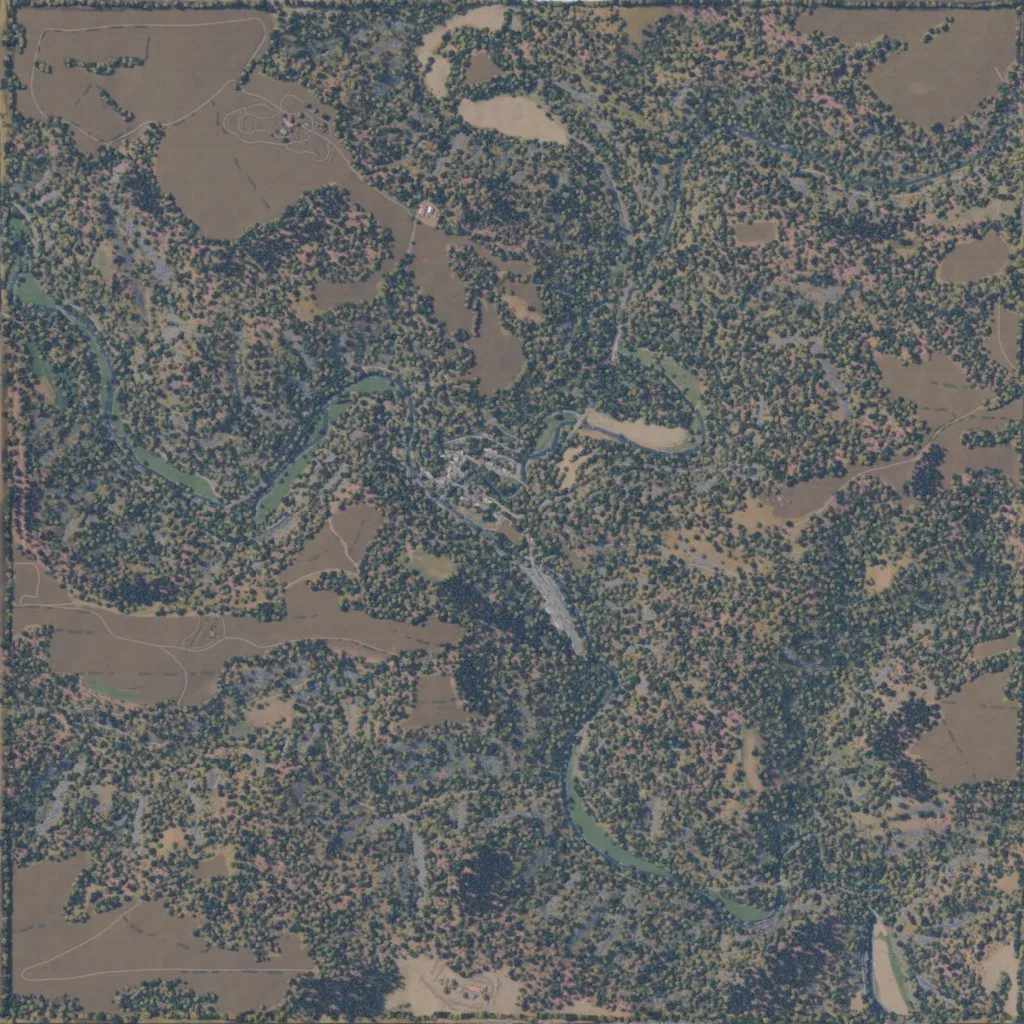
A 4 km square of steep, heavily wooded hills and valleys rising from 160 to 510 m. A river winds in from the west, through the centre and out to the southeast. The one village sits on the river at the centre, with farmsteads in the north-west and on the south edge. About 58 km of mostly minor roads reach open fields near the map edges. The author sets it in Kautenbach, Luxembourg, in 1944–45. Suits infantry and armour fighting over the river crossings.
