Kemerovo
City-wide satellite ground texture with one small block of placed roads and housing south-west of centre. Plan operations on this 4.1 km Arma Reforger map in TacOps.
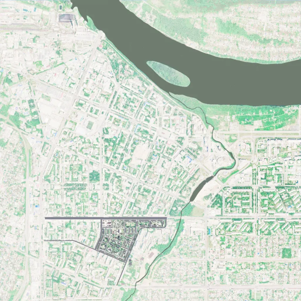
The author describes it as a map of Kemerovo City. The 4 km square world is covered by satellite imagery of a city, with a wide river and a wooded island across the north and a narrow stream running south from it. Most of that city exists only as ground imagery; placed roads and buildings sit in one triangular block south-west of centre. The metrics list 39 roads totalling 9.6 km and 286 buildings. Elevation ranges from 100 to 190 m. It suits small close-quarters infantry fights in that block.
