Kettu Saari
Small low island of open grassland, dense forest and inlets, with a few walled compounds linked by dirt tracks. Plan operations on this 3.3 km Arma Reforger map in TacOps.
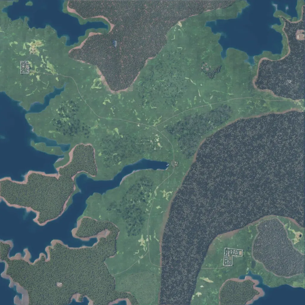
A 3.3 km square of low land, between 10 and 60 m, cut by inlets and lakes. Dense conifer forest covers a broad eastern band and a northern headland. The centre and west are open grass with tree clumps. Settlements are small: walled compounds in the north-west and south-east and a hamlet at the head of a central inlet. Five dirt tracks, about 7 km in total, link them. The map suits small infantry fights more than vehicle operations. The author sets it on a remote island near Finland.
