Khevara Mushlands
Low, dense jungle cut by a winding river and estuary, with bare pale ground along the southern coast. Plan operations on this 5.4 km Arma Reforger map in TacOps.
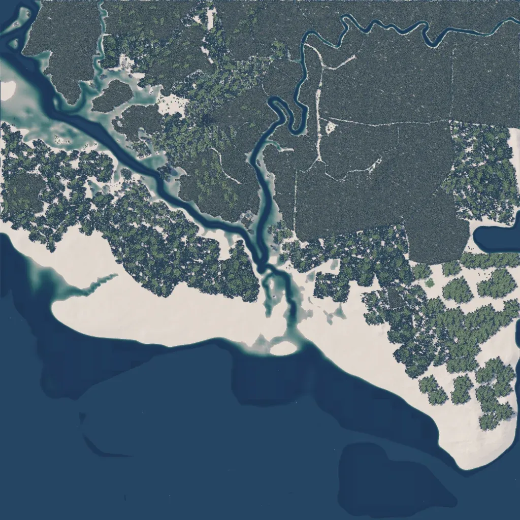
Mostly dense jungle on a 5.4 km map, 10 to 90 metres high, with a winding northern river feeding an estuary to the southern sea. An inlet cuts in from the northwest, and much of the southern coast is flat, pale, untextured ground with nothing placed. There are no roads, only dirt tracks in the northeastern forest. No named towns appear; the map holds 79 buildings and seven religious sites. It suits small infantry patrols and river crossings rather than vehicle operations. The author calls it Vietnam-inspired.
