Khreshchatyske
Farmland around a central village, with treelines, forest blocks and burnt strips across a 4 km map. Plan operations on this 4.1 km Arma Reforger map in TacOps.
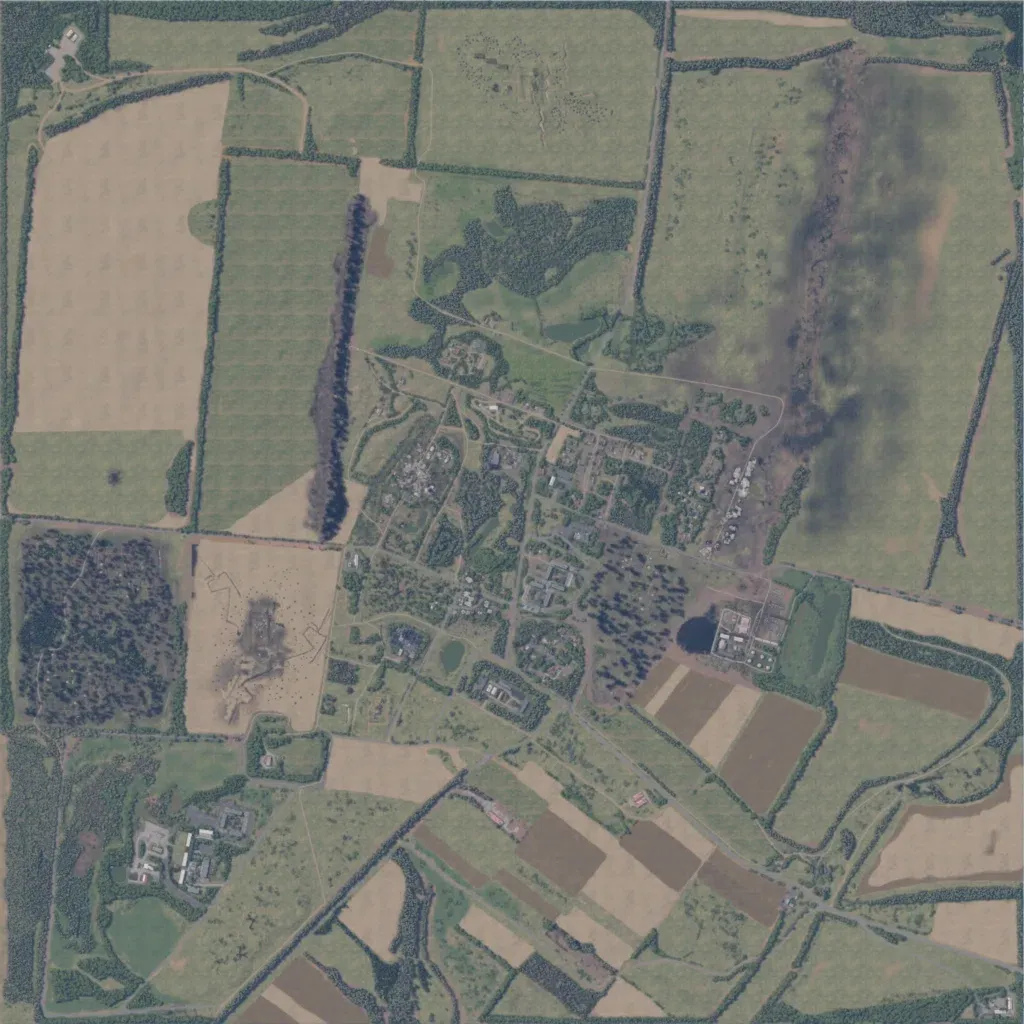
A 4 km map of farmland, 10 to 70 metres in elevation. A village of houses and gardens sits in the centre, with an industrial compound southeast of it and larger buildings southwest. Treeline-bordered fields cover the rest, with forest in the west and burnt strips in the north. The road network runs 60 km, mostly dirt tracks. Water is small ponds plus a winding stream in the southeast. Open fields suit infantry and vehicle fights over the village. The author calls it a war-torn Ukrainian area with trenches.
