Kinabatangan Plantation
Small jungle map with a wide river, a large plantation block cut by dirt tracks, and a riverside settlement. Plan operations on this 1.8 km Arma Reforger map in TacOps.
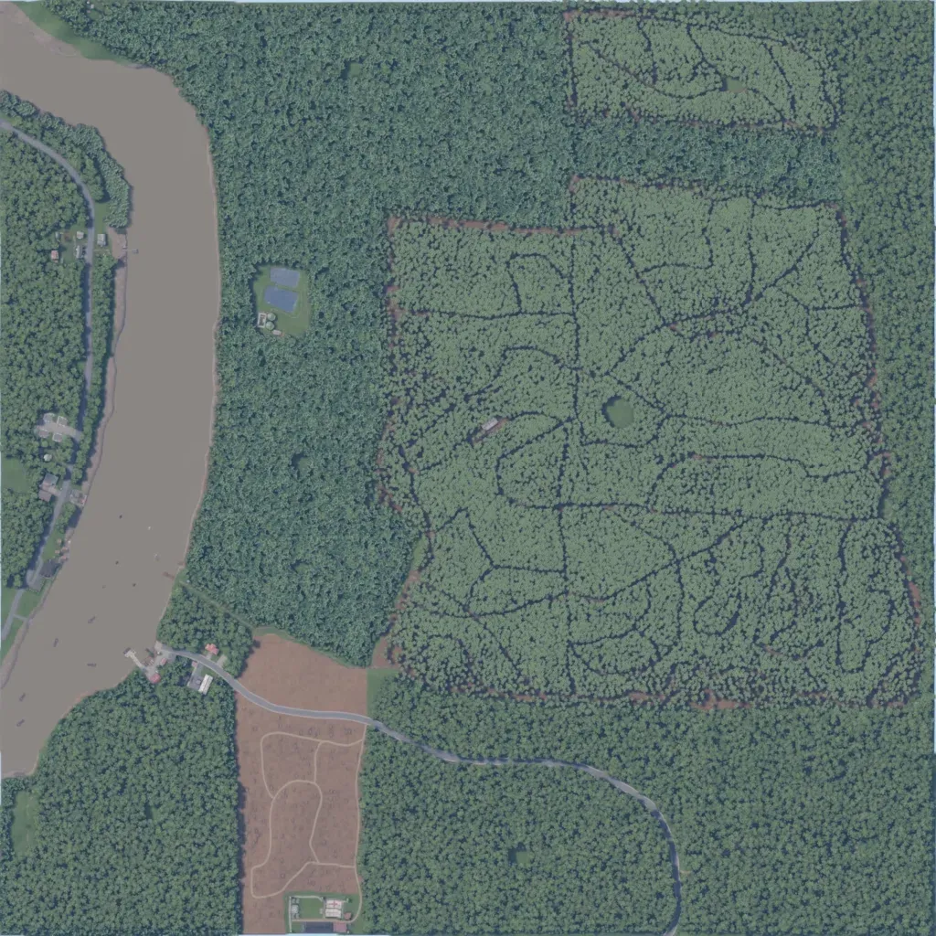
Small 1.8 km map of dense jungle with a wide brown river along the west edge. The eastern half is a plantation block of planted trees cut by winding dirt tracks. A paved road runs from a riverside settlement southeast through the forest past a cleared field with a compound. Named locations include Sukau, Sakua Boat Ramp, Morisem School and Allied Compound, with about 139 buildings. Elevation stays below 60 m. The author calls it a work-in-progress set in Kinabatangan. Suits small infantry and riverine operations in close cover.
