Kolguyev
Forested volcanic-looking island with ridges to 690 m, a southeast port town, a west-coast airfield and offshore islets. Plan operations on this 12.8 km Arma Reforger map in TacOps.
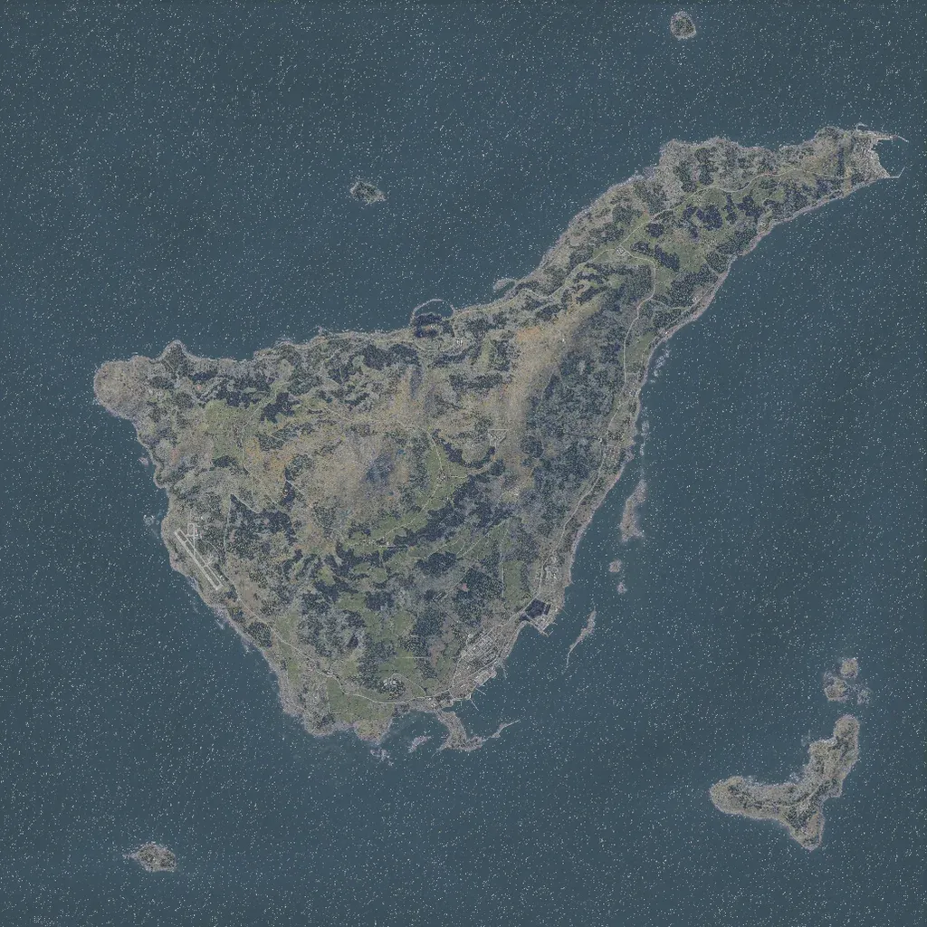
A 12.8 km world, about three-quarters sea, holding one large island with rugged forested ridges rising to about 690 m, plus several small offshore islets. A port town with harbour jetties sits on the southeast coast, and an airfield runway lies on the west coast. A road network of about 230 km links scattered hamlets and military sites across pine forest and open meadows. Ground imagery covers all land; even the emptiest areas have tracks and small buildings. Suits combined-arms, amphibious and air operations.
