Kuhmo Finland
Dense conifer forest about 6 km square, cut by clearings, small lakes and a main road running northwest to south. Plan operations on this 6.1 km Arma Reforger map in TacOps.
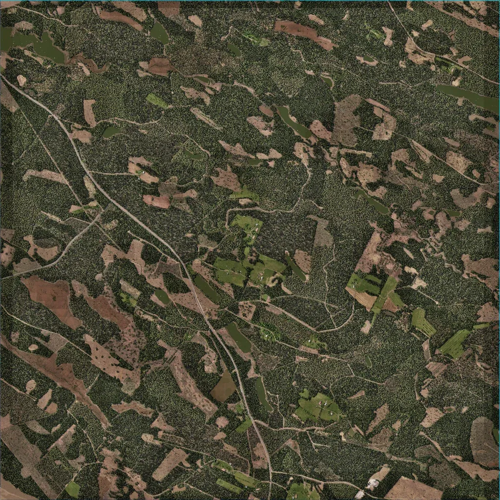
The author says it recreates the Rasti village area near Kuhmo in Finland. The map is mostly dense conifer forest broken by clear-cuts and a few farm fields, on ground between 10 and 80 m. One main road runs from the northwest corner to the south edge, with many tracks branching off. About 121 buildings sit in scattered farmsteads; ten localities are labelled, including Rastinpuro and Kotila. Water is limited to small ponds and narrow lakes. Imagery covers the whole map; it suits infantry patrols and forest fighting.
