Kunar Province
4 km mountain valley terrain with rivers, walled villages, military outposts and an airfield in the north-east. Plan operations on this 4.1 km Arma Reforger map in TacOps.
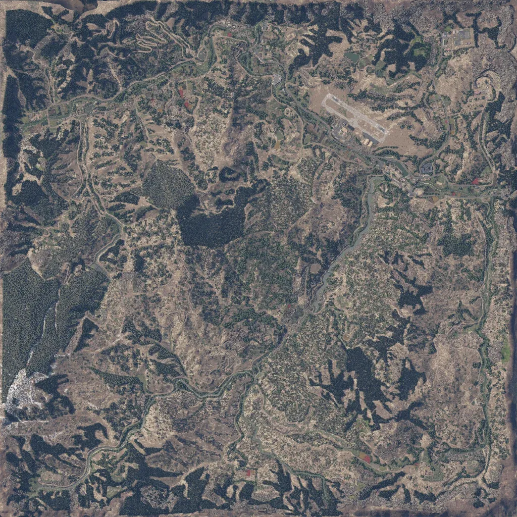
This 4 km map is steep, forested mountain country cut by winding river valleys. A runway airfield sits in the north-east, beside a walled compound and a river bridge. About 4,000 buildings form villages and military outposts linked by 77 km of valley roads and tracks. No imagery gaps or placeholder ground are visible. The author describes it as Afghanistan's Kunar region, with bridges, tunnels and caves. Tight valleys and forested ridges suit infantry patrols and outpost assaults. Community scenarios include Conflict and Combat Ops modes.
