Kurdistan Region
Small 3 km map of dense forest and a faded brown grid, with a few small settlements along a southern road. Plan operations on this 3.1 km Arma Reforger map in TacOps.
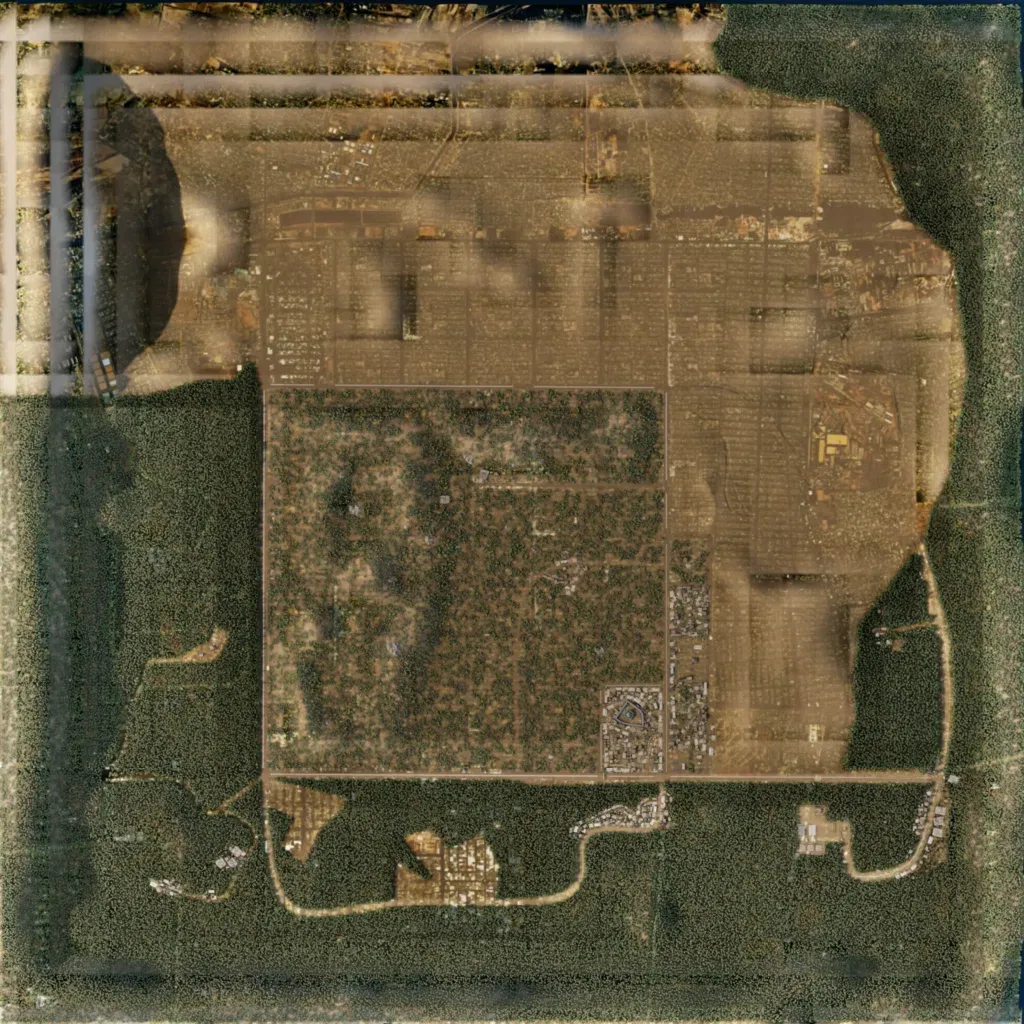
The map is about 3 km across, with no lakes or rivers. Dense forest rings the west, south and east, a faded brown grid fills the north and east, and a scrubby square sits in the centre. Small building clusters line a looping road in the south; 769 buildings and 26 km of roads are mapped. Blurred, streaked imagery runs along the north and west edges. Its size suits small infantry operations. The author calls it an early work in progress intended for PvE.
