LE Pin Map
Small rural map: a dense village beside open fields, with the eastern quarter rendered as flat water. Plan operations on this 1.6 km Arma Reforger map in TacOps.
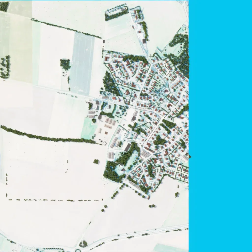
A small 1.6 km map of gently rolling ground between 60 and 90 m. The author calls it a terrain in France, half village and half fields, with a military area and US camp. A dense village of about 300 buildings sits in the centre-east. Open fields with tree lines cover the west and south, crossed by a road along the southern edge. The eastern quarter is flat blue water, and ground imagery is washed out to near white. Suited to short infantry fights in the village.
