Line Of Contact
Forested low hills about 10 km across with a field strip, scattered buildings, ponds and springs but no named towns. Plan operations on this 10.2 km Arma Reforger map in TacOps.
Map tiles updated
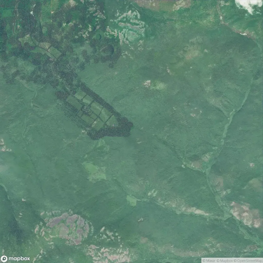
The roughly 10 km map is mostly forest on low hills of 10 to 90 m. A strip of fields edged by tree belts runs diagonally through the northwest. There are no named towns, only 158 buildings and 3 power lines. 49 road segments total about 16 km. Water is 45 lakes, 33 springs and an eastern stream valley. Much of the ground is blurry imagery with nothing placed. It suits small infantry patrols in woodland. A listing says it was built for a 50-player RGS & LOC event.
Map facts
- Game: Arma Reforger
- Size: 10.2 km, 11 by 11 grid squares of 1 km
- Made by RU GAMES STUDIO (Workshop page)
Layers and modes
- Satellite imagery
- In-game map
- Topographic map details
- Roads
- Contour lines every 10 m
- Named places
- Hillshade
- Slope analysis
- Tree canopy
- Line-of-sight checks
- Water levels
- 3D terrain view (TacOps Pro)