Lushlands
Heavily forested 7 km terrain with a northern town, a southern town, a southeast airstrip and a winding road network. Plan operations on this 7.2 km Arma Reforger map in TacOps.
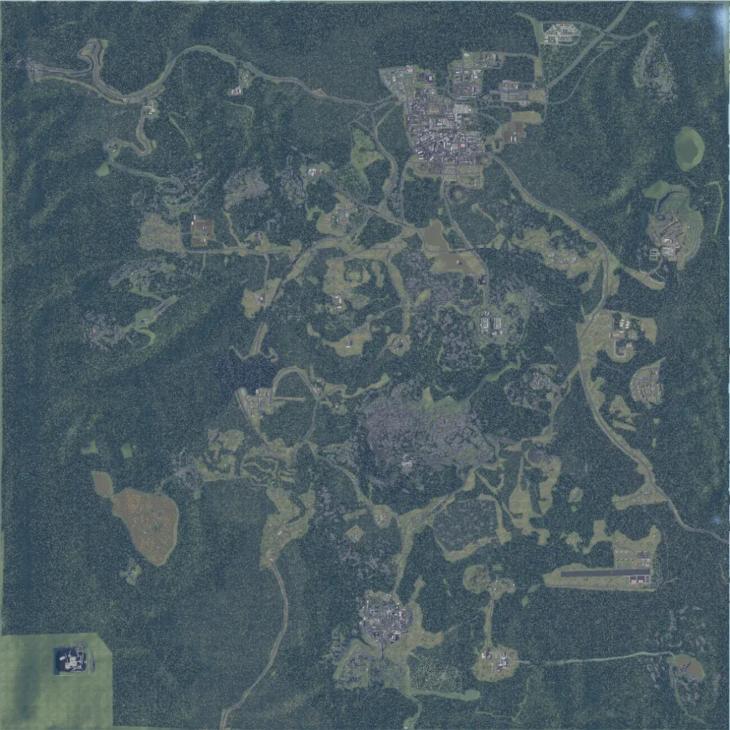
Dense forest with scattered clearings covers most of this 7.2 km square. The largest town is in the north, a smaller one in the south, and an airstrip in the southeast. About 121 km of roads link scattered compounds, including a highway in the east. Overlays list 56 lakes; a large bare brown clearing lies west. A flat, uniform green square fills the far southwest corner. The author describes it as a Colorado-based terrain with no fixed lore. It suits forest infantry and convoy operations.
