MCAS Pendleton
Dry scrub hills with an airfield in the southeast, scattered base compounds and a web of dirt tracks. Plan operations on this 9 km Arma Reforger map in TacOps.
Map tiles updated
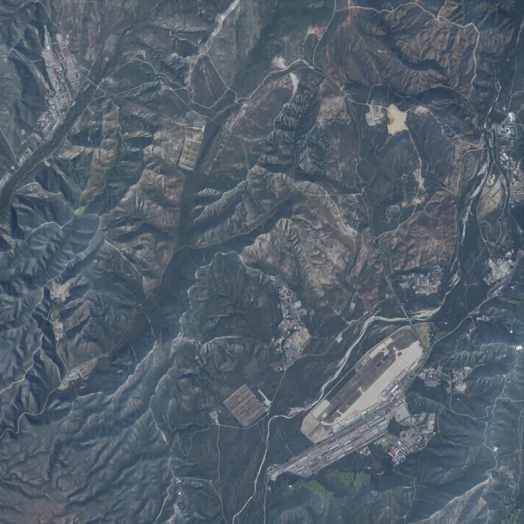
Steep, dry, scrub-covered hills and valleys rise from 20 to 330 m across the 9 km square map. An airfield with a runway, apron and hangar rows sits in the southeast, with base compounds in the northwest, centre and east. About 30 km of roads, mostly dirt tracks, link them. There are no lakes or marked points of interest. The author describes it as an unfinished recreation of Marine Corp Air Station Pendleton, with the airport only partly built. It suits airfield raids and recon patrols.
Map facts
- Game: Arma Reforger
- Size: 9 km, 9 by 9 grid squares of 1 km
- Made by Fundaman77 (Workshop page)
Layers and modes
- Satellite imagery
- In-game map
- Topographic map details
- Roads
- Contour lines every 10 m
- Named places
- Hillshade
- Slope analysis
- Tree canopy
- Line-of-sight checks
- Water levels
- 3D terrain view (TacOps Pro)