MCBH Kaneohe Bay
Peninsula base with curving housing streets and trees, open pale ground in the west and south, and sea on three sides. Plan operations on this 9 km Arma Reforger map in TacOps.
Map tiles updated
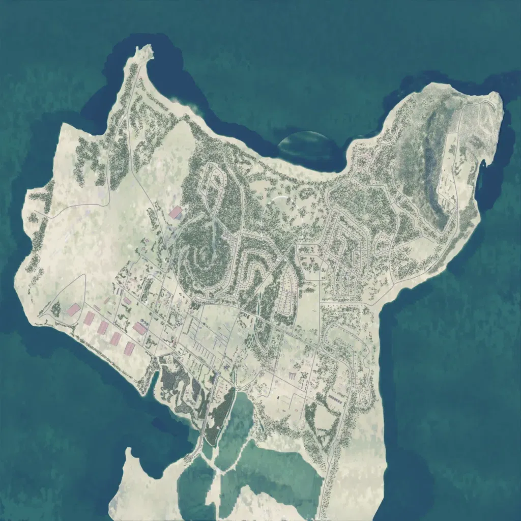
The author describes it as Marine Corps Base Hawaii on O'ahu's Mokapu Peninsula. The 9 km map is a peninsula with sea on three sides, rising to a 350 m ridge in the northeast. About 1,600 buildings fill the centre: curving housing streets among trees, base blocks and rectangular buildings near the southwest shore, linked by 115 km of roads. The west and south are mostly open ground with blurred, pale imagery and few objects; the south has lagoons. It suits infantry fighting through housing and base areas.
Map facts
- Game: Arma Reforger
- Size: 9 km, 9 by 9 grid squares of 1 km
- Made by Ridenour_usmc (Workshop page)
Layers and modes
- Satellite imagery
- In-game map
- Topographic map details
- Roads
- Contour lines every 10 m
- Named places
- Hillshade
- Slope analysis
- Tree canopy
- Line-of-sight checks
- Water levels
- 3D terrain view (TacOps Pro)