Mstp Taconite
Forested 16 km terrain with large grey open-pit mine zones, small grid towns, many lakes and a dense road network. Plan operations on this 16.4 km Arma Reforger map in TacOps.
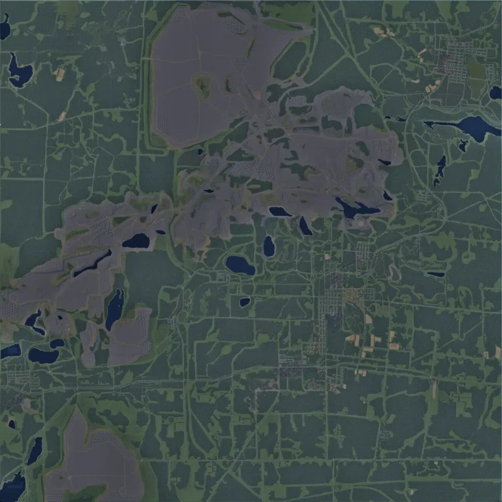
The author bases it on Iron Range mining country, using GIS data with a fictional layout. The 16.4 km square map is mostly dense forest with clearings, 37 lakes and 811 km of roads. Large bare grey mine areas with dirt tracks and little cover stretch from the west edge to the north centre, plus one in the southwest. Small grid towns sit in the centre and east, with 35 city markers, an airport and a power plant. It suits long-range vehicle and infantry operations.
