Muskegon Harbor
Forested hills split by a wide canal and central bridge, ringed by lake water, beaches and dunes. Plan operations on this 6.1 km Arma Reforger map in TacOps.
Map tiles updated
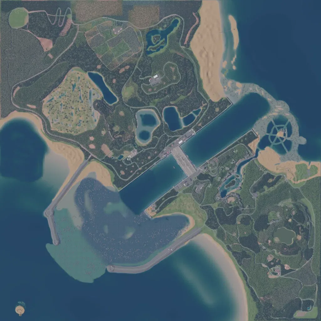
Forested hills are cut by a wide diagonal canal, bridged at its centre, on this 6.1 km map. Open water lies west and east, with beaches, northeast dunes and two breakwater roads around a shallow southwest bay. Inland sit about 15 small lakes, northern fields and 882 buildings in small clusters, joined by roughly 98 km of roads. The author lists a shipping lock, castles, hidden caves, a town sewer system and a lagoon built for helicopter fights. It suits infantry fights over the bridge and boat or helicopter play.
Map facts
- Game: Arma Reforger
- Size: 6.1 km, 7 by 7 grid squares of 1 km
- Made by TableTopCop, FBIwatchlist (Workshop page)
Layers and modes
- Satellite imagery
- In-game map
- Topographic map details
- Roads
- Contour lines every 10 m
- Named places
- Hillshade
- Slope analysis
- Tree canopy
- Line-of-sight checks
- Water levels
- 3D terrain view (TacOps Pro)