Negomano2 0
Flat dry bush split by a wide sandy riverbed, with an airport, a military base and supply depots. Plan operations on this 10.2 km Arma Reforger map in TacOps.
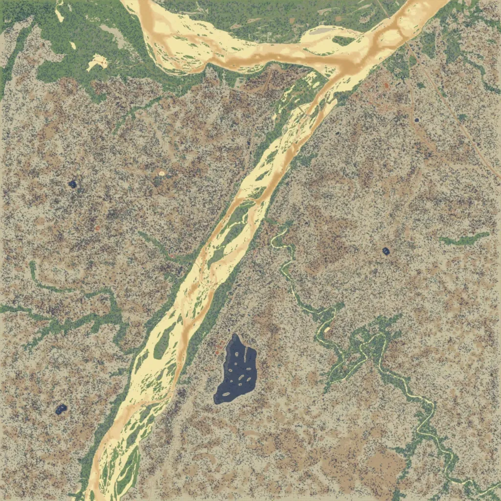
This 10 km map is flat dry bush, with contours only between 10 and 20 m. A wide sandy riverbed with green islands runs from the southwest corner northeast to the north edge. A small dark lake with islands lies south of the centre. Named places include an Airport, a Farm, a Military Base and five supply depots, with 519 buildings. About 114 km of roads cross the bush. It suits patrols and vehicle operations in open bush. The author calls it an updated Negomano with new assets.
