Nevache CTI
Alpine valley with small hamlets, a valley road, grey rocky slopes and dark boulder fields on the high ground. Plan operations on this 10.2 km Arma Reforger map in TacOps.
Map tiles updated
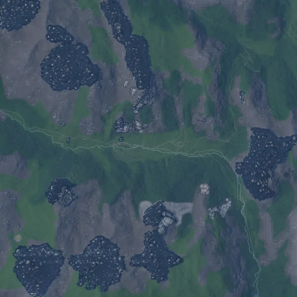
The author bases this CTI map on Névache in the French Alps. A green valley crosses the 10 km map west to east, between grey rocky slopes rising to 1,580 m. Six localities, including Ville-Haute, Ville-Basse and Planpinet, hold 220 buildings. A road follows the valley floor and turns south along the east side; roads total 91 km. Topo data lists 59 water bodies. Dark boulder patches and a flat grey area south of centre look unfinished. It suits infantry fighting along the valley and high ground.
Map facts
- Game: Arma Reforger
- Size: 10.2 km, 11 by 11 grid squares of 1 km
- Made by Tadetade (Workshop page)
Layers and modes
- Satellite imagery
- In-game map
- Topographic map details
- Roads
- Contour lines every 10 m
- Named places
- Hillshade
- Slope analysis
- Tree canopy
- Line-of-sight checks
- Water levels
- 3D terrain view (TacOps Pro)