Nizla Island
Forested island in the southwest of a mostly sea 17 km map, with an airstrip, harbour and a rocky, snow-patched massif. Plan operations on this 17.2 km Arma Reforger map in TacOps.
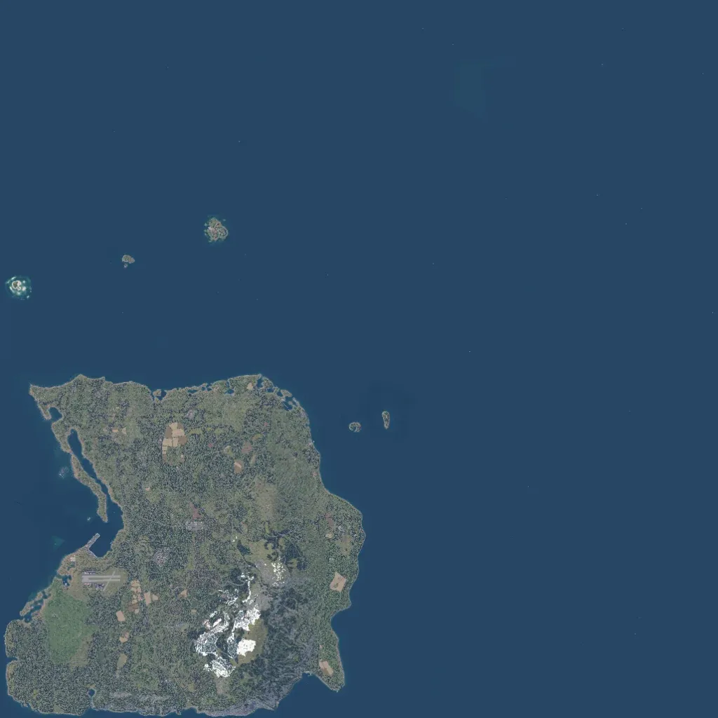
The land is one forested island in the southwest corner, with small islets to the north and east; the rest is open sea. Elevation runs from 10 to 570 m, peaking in a rocky, snow-patched massif in the island's south-centre. An airstrip and harbour sit on the west coast below a long, narrow inlet. Villages and farm fields are linked by about 218 km of roads, with 1,556 buildings and 104 military points of interest. No missing imagery or placeholder ground is visible. Suits infantry, amphibious and air-assault operations.
