North Carolina Back Country
Steep, densely forested ridge country with a lake on the north edge, scattered POIs and no named towns. Plan operations on this 9 km Arma Reforger map in TacOps.
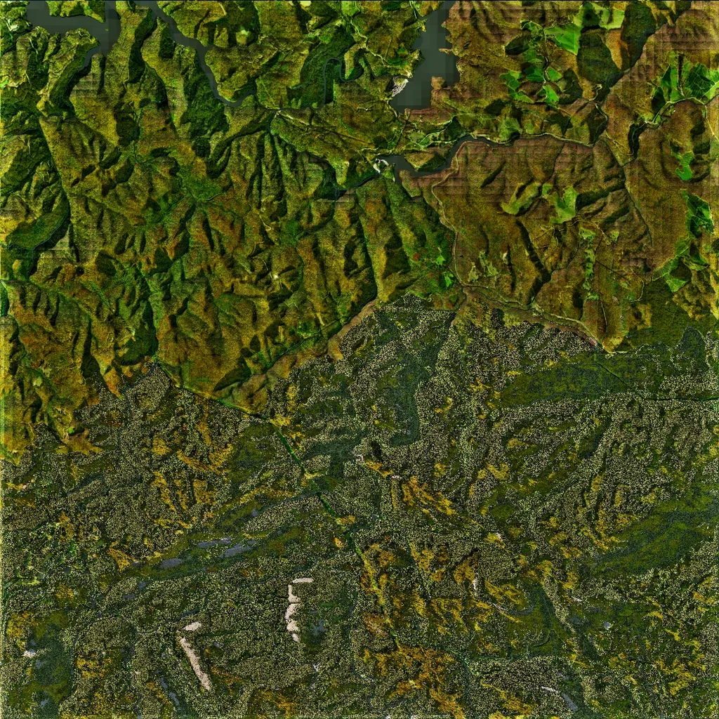
Heavily wooded hill country about 9 km square, elevations 80 to 690 m, cut by steep ridges and valleys. The southern half is covered in dense placed forest; the northern half shows ground imagery with few visible placed trees, plus a winding lake along the north edge where imagery turns blocky and low-resolution. No named towns appear; scattered POIs include 41 religious sites, 37 springs and 6 military sites. About 312 km of roads, mostly narrow tracks. Suits infantry-focused forest and ridge operations over mechanized ones.
