Ojinaga-Presida Border
3 km border map: a grid-street town east of a river, a mostly empty west bank, and no ground imagery. Plan operations on this 3.1 km Arma Reforger map in TacOps.
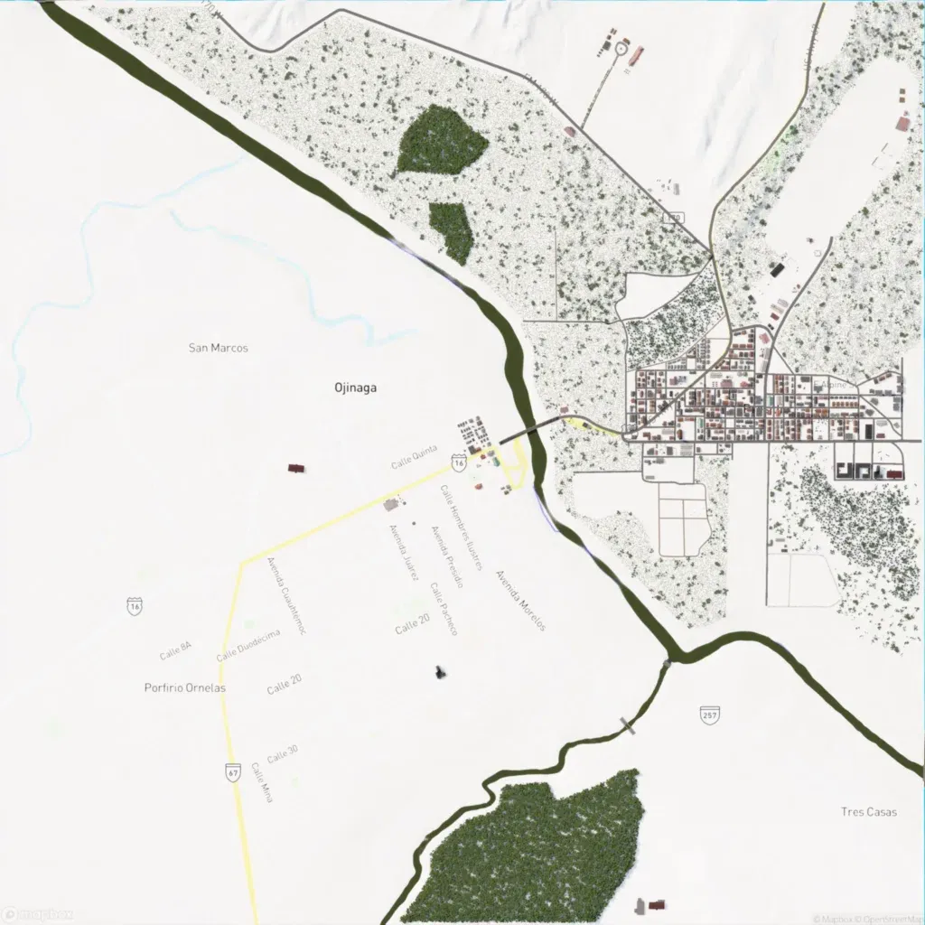
A dark river crosses the 3 km map from the northwest corner, bending east in the south. Most of the 517 buildings form a grid-street town east of the river, ringed by scattered scrub. A bridge links a small west-bank cluster; roads total about 65 km. Dense woods lie northwest of the town and in the south. The western half is largely empty flat ground, and no ground imagery renders. The author calls it a work-in-progress Mexico border map. It suits small infantry actions around the town and river crossing.
