Perry Island
Hilly, forested island of long peninsulas and inlets, with few buildings, sparse roads and scattered military sites. Plan operations on this 13.1 km Arma Reforger map in TacOps.
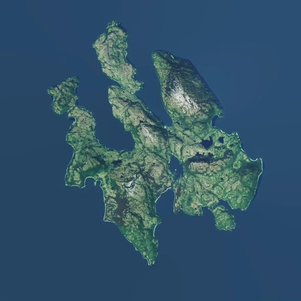
Several long, hilly peninsulas are split by sea inlets, rising to about 500 m with snowy peaks. Satellite-style ground imagery covers the land, with scattered ponds and grid-like striping on some slopes. No named towns appear; there are 64 buildings, 8 points of interest (5 military) and about 34 km of roads. Most ground shows no visible roads or structures. The author bases it on Perry Island, Alaska, with US and Soviet forces fighting over a militarized island. It suits small infantry or amphibious operations rather than town fighting.
