Helmand
Open desert map with a green river valley of walled fields, an airstrip in the northwest and a reservoir in the north. Plan operations on this 16.6 km Arma Reforger map in TacOps.
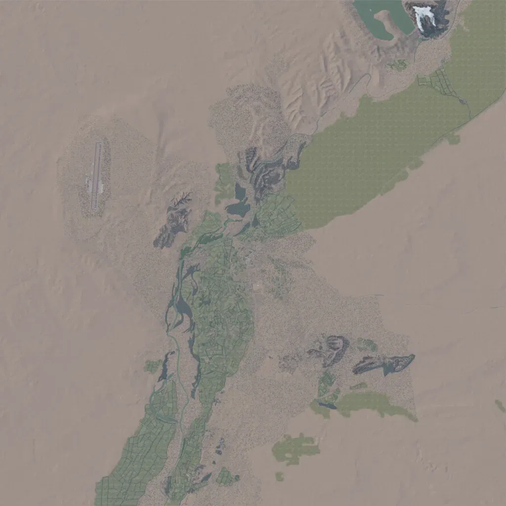
The author describes it as a work-in-progress recreation of the Sangin area of Helmand. The 16.6 km square world is mostly open desert between 840 and 1,200 m elevation. A green river valley of walled fields and villages runs from the southwest to a reservoir in the north. Locations include Sangin, Kajaki Dam, Camp Harrier and several patrol bases; an airstrip sits in the northwest. Much of the outer desert is empty, and a northeastern plain is uniform green ground. Suits infantry patrols along the valley.
