Phoenix Studios Sennybridge
Rolling upland of conifer plantations, open moorland and walled farmland, with an airfield and military ranges. Plan operations on this 10.2 km Arma Reforger map in TacOps.
Map tiles updated
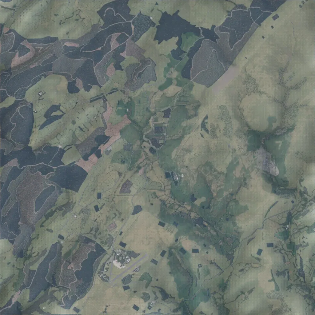
The 10 km map rises from 160 to 470 m, with conifer plantations across the west and north and open moorland dotted with small square woods in the east. Walled fields line the central valley. Settlement is sparse, about 333 buildings: farms, Trecastell, Tirabad, Phoenix Barracks, a Fibua village and an airfield, RAF Sennybridge, in the south-west. About 220 km of roads link them; water is limited to small ponds. Suits patrols, range work and small-unit raids. The author says it is inspired by mid Wales.
Map facts
- Game: Arma Reforger
- Size: 10.2 km, 11 by 11 grid squares of 1 km
- Made by Austin Machin (Workshop page)
Layers and modes
- Satellite imagery
- In-game map
- Topographic map details
- Roads
- Contour lines every 10 m
- Named places
- Hillshade
- Slope analysis
- Tree canopy
- Line-of-sight checks
- Water levels
- 3D terrain view (TacOps Pro)