Ringkollen of Norway
Dense 2.8 km forest wilderness around a large central lake, crossed by dirt tracks with scattered small buildings. Plan operations on this 2.8 km Arma Reforger map in TacOps.
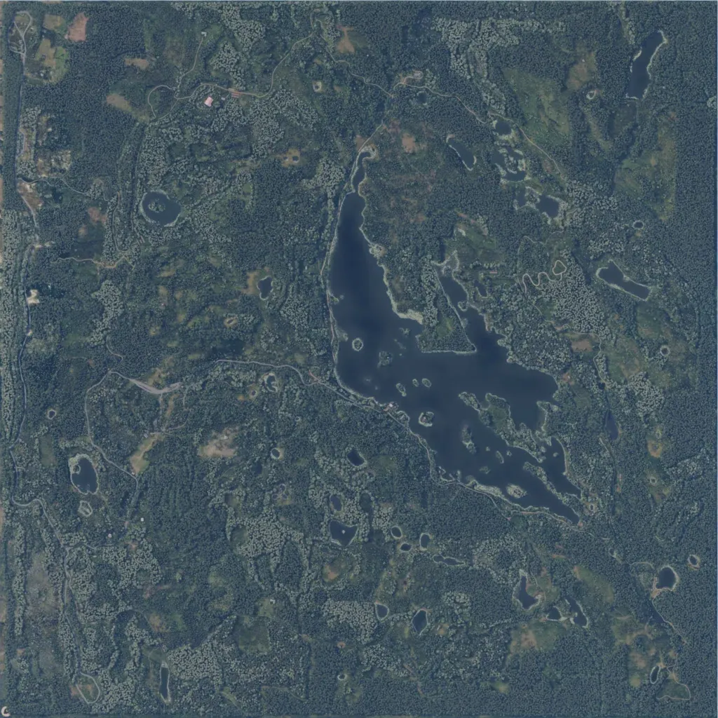
The 2.8 km map is almost entirely dense forest with small clearings, rising from 170 to 450 m. A long island-dotted lake fills the centre and east, with dozens of small ponds around it. There are no named towns, only 92 scattered buildings and a few farm clearings in the northwest. About 48 km of roads, mostly dirt tracks, include one along the west edge. Ground imagery covers the whole map. The author bases it on Norway's Ringkollen woods and Øyangen lake, for marksman and reconnaissance play.
