Road to Saigon
Forested lowland cut by winding tan channels, centred in a mostly empty square, with an airfield and military sites. Plan operations on this 17.2 km Arma Reforger map in TacOps.
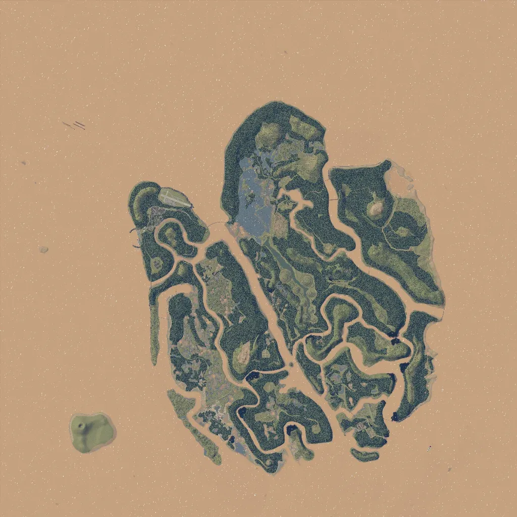
A forested landmass sits in the centre of the 17 km square, split into strips by winding tan channels crossed by bridges. About two thirds of the square around it is flat, featureless tan ground with nothing placed. It has 821 buildings, 124 km of roads, and an airstrip in the northwest. Points of interest include 58 military sites, 15 city markers, and 34 localities such as Saigon, My Lai, and Tusker. Dense jungle suits patrols, firebase defence, and fights over channel crossings. The author calls it a fictional Vietnam-era map.
