Robotyne Ukraine
Flat open farmland of fields and treelines around one roadside village, crossed by a main road from north to southwest. Plan operations on this 5.1 km Arma Reforger map in TacOps.
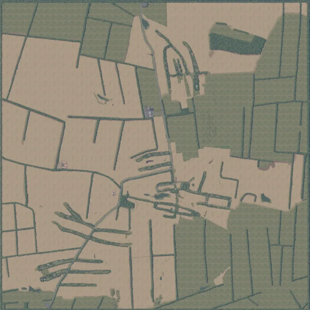
Flat, open farmland on a 5 km square: tan and green fields split by narrow treelines. Most of its 386 buildings form one village along lanes in the centre and north-centre. A main road runs from the north edge through the village to the southwest corner, alongside minor tracks. Water is limited to 11 small ponds. Most fields are empty, repeating crop texture. It suits mechanized assaults and infantry fights from treeline to treeline. The author says it is based on villages in Zaporizhzhia Oblast.
