Rostov
Farmland divided by tree lines around a wooded central valley, with a small town, villages and a western airstrip. Plan operations on this 7.9 km Arma Reforger map in TacOps.
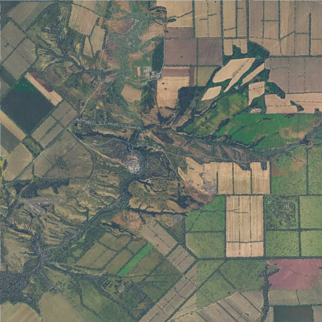
An 8 km square of farmland divided by tree lines, crossed by a wooded valley through the centre. Elevation runs from 10 to 240 m. A central town, villages in the north and southwest and one east of centre hold about 2,600 buildings. An airstrip sits in the west. 392 road segments total about 186 km; there are 14 lakes. The east and southeast are open fields with little cover. It suits combined-arms play, with vehicles in the fields and infantry in the valley. The author credits OhYeaItsMike with the original map.
