Ruha
8 km forest and farmland map with scattered villages, a power plant, a horse track and an airstrip. Plan operations on this 8.2 km Arma Reforger map in TacOps.
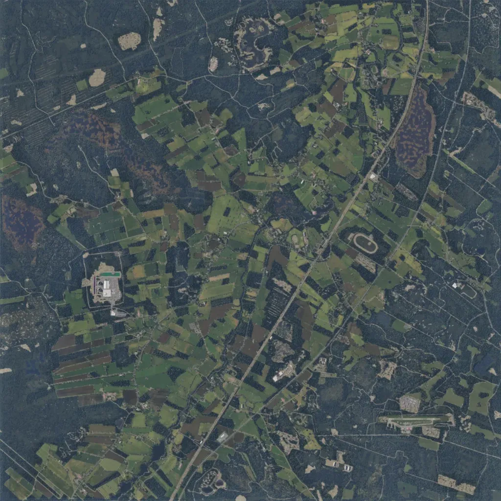
Dense forest surrounds a central belt of patchwork fields, with bogs in the north and east. Small villages sit along 230 km of mostly minor roads; a main road crosses diagonally from southwest to northeast. Landmarks include a power plant in the west, a horse track east of centre and an airstrip in the southeast. Water is limited to small lakes and ponds, and ground imagery has no gaps. The author bases it on a real area in southern Ostrobothnia, Finland, with a fictional layout. Mixed forest and open fields suit infantry and vehicle operations.
